Notice: Function WP_Scripts::add was called incorrectly. The script with the handle "datatables-responsive" was enqueued with dependencies that are not registered: datatables. Please see Debugging in WordPress for more information. (This message was added in version 6.9.1.) in /home/u621095157/domains/brigantesnation.com/public_html/wp-includes/functions.php on line 6131
County Durham: geography, geology, heritage and history
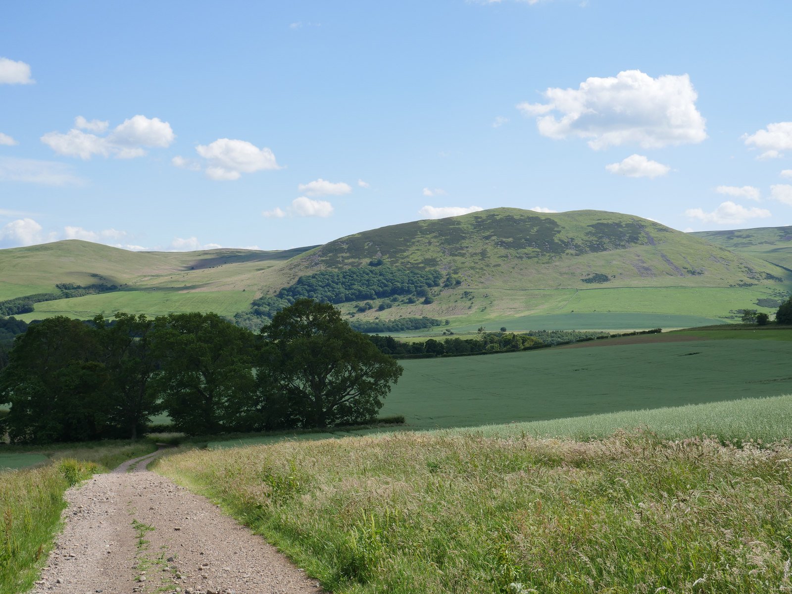
County Durham’s landscape is often described as a “three-belt county.” To the west rise the high, windswept Pennines; in the middle lies a sheltered coal-bearing vale that funnels every main road and railway; and to the east stands the pale Magnesian-Limestone escarpment ending in low cliffs above the North Sea. Those belts dictate both the economic story (lead and sheep in the uplands, coal and steel in the vale, limestone quarrying on the Scarp) and the strategic one: Roman legionaries, medieval prince-bishops and Victorian railway engineers all followed the same river-and-sill corridors.
Layer
Key points
Why it matters
Geography
Squeezed between the high Pennine moors (west) and the North Sea (east).
Three main river corridors – Wear (cuts the central vale and Durham gorge), Tees (southern border), Derwent (northern border).
To the East - A coastline of low Permian cliffs and sheltered bays.
Rivers, passes and a naturally tiered landscape shaped route-ways, later coal export, and the siting of prehistoric through medieval centres.
Geology
Western highland = block of Carboniferous Limestone & Gritstone hovering over the buried Weardale Granite batholith – source of lead–zinc ores. (Wikipedia)
Central low vale = Coal Measures and glacial tills – the Durham Coalfield.
Eastern escarpment = pale Permian Magnesian Limestone Plateau, dipping to the sea. (nationalcharacterareas.co.uk)
Each belt generated a distinct land-use: sheep and lead in Weardale; coal mining and industry in the low vale; thin calcareous soils and quarrying along the limestone scarp.
Heritage & history (post-prehistoric)
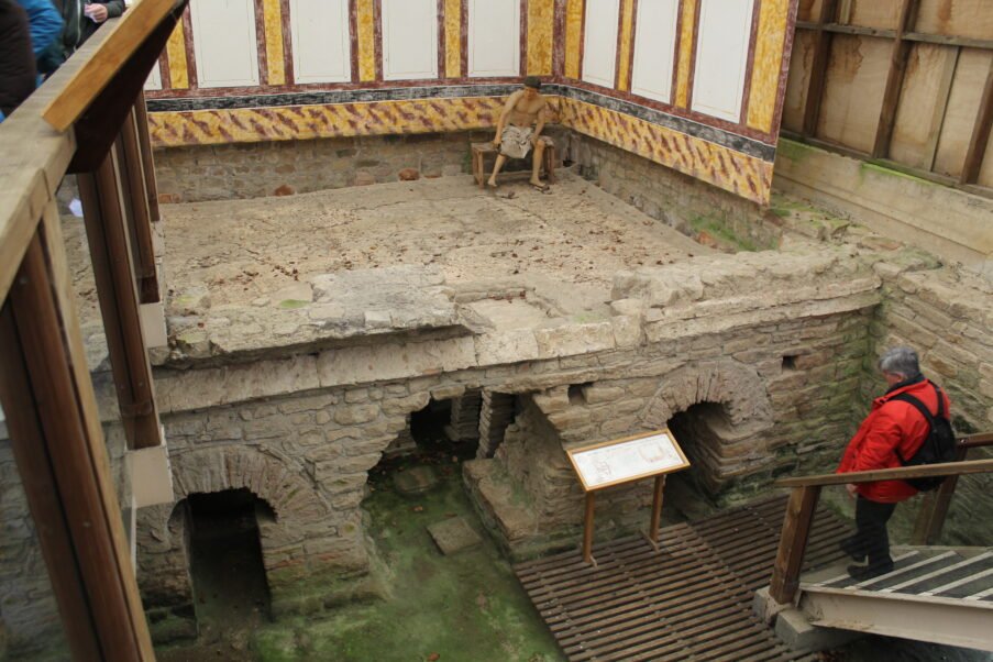
Roman – Dere Street and forts at Binchester (Vinovia), Lanchester (Longovicium).
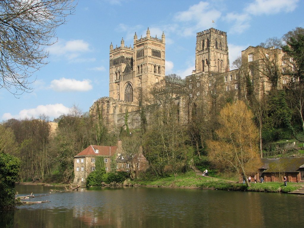
Early medieval – cult of St Cuthbert; Durham Cathedral & Castle (UNESCO) under the prince-bishops.
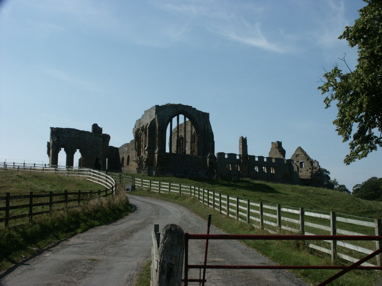
Norman–late medieval – stone keeps at Raby, Barnard Castle, Brancepeth; deer parks across the limestone plateau.
Industrial age – world-pioneering Stockton & Darlington Railway (1825); deep collieries and ship-yards until late-20th c.
Shows a recurring frontier role: Roman military road, palatinate power buffer, then coal corridor feeding the industrial North-East.
The prehistoric record is thin in patches but reveals a clear west-to-east migration of activity. Upper-Palaeolithic hunters left only a handful of flints on the Pennine shelves; Mesolithic microlith scatters cluster around dale head springs; Neolithic farmers brought Henges onto the fertile coal measures; Bronze-Age Cairn fields colonised the high heather moors; and the first Iron-Age Promontory forts gripped the river gorges that opened onto the vale. Each line of the table represents not just a site but a shift in how people extracted resources from an increasingly complex landscape.
Period
Date range (cal BC)
Representative site(s)
Significance
Lower / Middle Palaeolithic
> 50 000
Warren House Gill – single flint hand-axe found in river gravels. (wilcuma.org.uk)
Sparse evidence but proves early hominin transits through the Vale of Wear.
Late Upper Palaeolithic / Early Mesolithic
c. 11 000–7000
Upper Teesdale microlith camps – scatter of bladelets at Cow Green; short re-use hunter sites. (bajr.org)
Highlights the Pennine dale as summer hunting territory soon after the ice.
Neolithic
c. 4000–2500
Low Coniscliffe Henge near Darlington – 45 m ditched ring, recently excavated. (Robertson Homes)
Axe-polish sites and scatters on the magnesian plateau.
First farming clearances; henge shows Durham’s link to wider Tees–Ure ceremonial landscape.
Early Bronze Age
c. 2500–1500
Crawley Edge Cairnfield, Stanhope – 40+ cairns incl. cremation Barrow. (Wikipedia, Historic England)
Isolated bowl Barrows on Hasting Hill and the East Durham ridge. (Historic England)
Cairnfield reflects mixed stock-rearing & limited arable in high Weardale; single barrows mark family tenure on limestone high-downs.
Middle Bronze Age
c. 1500–1200
Mountjoy enclosure, Durham City – triple-ditched 0.75 ha circular monument (1700–1300 BC). (Wikipedia)
Rare northern example of a Middle-Bronze ceremonial or stock corralling ring; bridges gap between early barrows and late hoards.
One of Britain’s benchmark LBA hoards; evidence for upland metal-working and ritual deposition near limestone outcrops.
Early Iron Age
c. 700–400
Scattered unenclosed farmsteads; possible palisaded settlement at Bollihope Common.
Low stone structures hint at shift to stock-based economy before true hillforts.
Middle–Late Iron Age
c. 400–AD 43
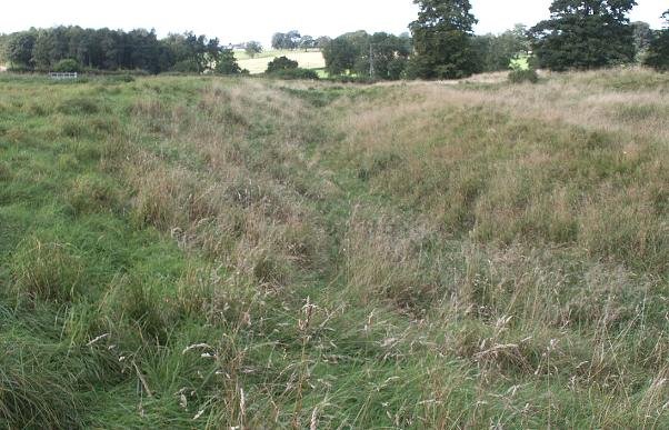
Maiden Castle, Durham – promontory hillfort over the River Wear; multivallate defences. (Wikipedia)
Shows valley-mouth control and continuing upland–lowland interaction; the county’s clearest pre-Roman defended site.
(County Durham holds at least 292 scheduled prehistoric–medieval monuments, reflecting every era outlined above.) (Wikipedia)
Reading the pattern
West → East gradient: earliest hunter camps and sacrificial caves hug the Pennine limestone; later henges and barrows advance onto the fertile low vale and magnesian plateau.
Mineral & route influence: copper-rich Weardale fuels the Heathery Burn hoard; river gaps (Wear, Tees) later become Roman road corridors and cathedral seat.
Continuity of high-ground ritual: from Crawley Edge cairns through Mountjoy enclosure to medieval wayside crosses, the same skyline spurs and ridges remain focal.
Together, County Durham’s geography, bedrock and river gateways shaped a prehistoric storyboard that runs from single Palaeolithic artefacts to complex Iron-Age hillforts—each phase leaving tangible, visitable sites that still stud the magnesian cliffs, coal valleys and Pennine moor-tops today.
Historic figures associated with County Durham
From early-medieval saints to contemporary entertainers, County Durham’s notable names illustrate the county’s changing identity: first a northern holy land guarding Cuthbert’s tomb; then a semi-independent prince-bishopric balancing crown and border; later an Engine-room of the Industrial Revolution; and finally a source of cultural exports far beyond its size. The table places each figure back into the slice of Durham that shaped them; moors, cathedral close, railway works or coalfield, showing why their reputations travelled far beyond the county boundary.
Name & dates
County-Durham connection
Why remembered
St Cuthbert (c. 634 – 687)
His relics were carried to Durham in 995 and enshrined in what became Durham Cathedral; miracles at the tomb made the city a major pilgrimage centre. (durhamworldheritagesite.com)
Northumbria’s patron saint; beacon of early medieval spirituality and wonder-working.
The Venerable Bede (672/3 – 735)
Scholar-monk of Wearmouth–Jarrow; his bones were later translated to the Galilee Chapel, Durham Cathedral. (Wikipedia)
“Father of English History”; author of Ecclesiastical History of the English People.
St Godric of Finchale (c. 1065 – 1170)
Lived 60 years as a hermit beside the River Wear at Finchale, a priory cell of Durham. (Wikipedia)
Merchant-turned-mystic whose songs are among the earliest in English.
Bishop Antony Bek (c. 1245 – 1311)
Powerful Prince-Bishop of Durham, ruler of the Palatinate and crusading Patriarch of Jerusalem. (Wikipedia)
Embodied the quasi-royal status of Durham bishops; built Auckland Castle’s great hall.
Charles Neville, 6th Earl of Westmorland (1542 – 1601)
Lord of Raby Castle; co-led the 1569 Rising of the North from Durham against Elizabeth I. (Wikipedia)
His failed rebellion marked the end of medieval Catholic power in the North-East.
Jeremiah Dixon (1733 – 1779)
Born at Cockfield; trained at Bishop Auckland Observatory. (Wikipedia)
Surveyor of the Mason–Dixon Line, the celebrated boundary in colonial America.
George Stephenson (1781 – 1848)
Chief engineer of the Stockton & Darlington Railway; drove the line across the county in 1825. (Wikipedia)
“Father of Railways”; his locomotive Locomotion No. 1 hauled the world’s first public steam train from Shildon to Stockton.
Timothy Hackworth (1786 – 1850)
Resident engineer at Shildon; first locomotive superintendent of the S&DR and founder of Soho Works. (Wikipedia)
Pioneer designer whose Royal George and later engines spread steam traction worldwide.
Elizabeth Barrett Browning (1806 – 1861)
Born at Coxhoe Hall, south-east of Durham City. (Wikipedia)
Major Victorian poet (Sonnets from the Portuguese), early voice for social reform.
Rowan Atkinson (b. 1955)
Born in Consett and schooled at Durham Choristers School and St Bees; keeps a home near Barnard Castle. (Wikipedia)
Comic actor and writer (Blackadder, Mr Bean), modern cultural export from County Durham.
These individuals—saints, prince-bishops, rebels, engineers, writers and performers—span fourteen centuries and collectively illustrate how County Durham has served as spiritual centre, political buffer, industrial crucible and creative seed-bed within British history.
Natural wonders of County Durham
Durham’s natural attractions read like a miniature textbook of Northern geology and ecology. Whin-Sill waterfalls, post-industrial limestone grasslands and Arctic-alpine “Teesdale rarities” all sit within 40 km of one another. An introduction is needed because first-time visitors often assume Durham is “just coal country”; in fact the county shelters some of Britain’s rarest plant communities and most photogenic erosional landforms. The table below lists some of the headline sites, but the prose underlines how each owes its character to a specific bedrock and climate niche.
Wonder
What makes it special
How to experience it
High Force Waterfall, Upper Teesdale
The Tees plunges 21 m over the hard dolerite of the Whin Sill, creating one of Britain’s most powerful single-drop falls, especially after rain. (Raby Estates, Wikipedia)
Short riverside walk from High Force Hotel or link it with Low Force for a 5 km loop.
Low Force & Whin Sill gorge
A graceful series of cascades where the river exposes columnar dolerite; signage explains the 295-million-year-old sill that shapes the landscape. (This is Durham)
Start at Bowlees Visitor Centre; footbridge leads to classic photo-angle on the falls and scar.
Cliffs of pale Magnesian Limestone and recovering wildflower grasslands show how a post-industrial shore has become a wildlife haven. (National Trust, limestonelandscapes.info)
Coastal Path from Seaham to Easington; look for orchids, kittiwakes and sea glass.
Hamsterley Forest
2 000 ha of mixed conifer and native broadleaf—the county’s biggest forest—spread along a sheltered Pennine valley. Trails range from family sculpture walks to black-grade MTB. (Home | Forestry England, Wikipedia)
Visitor hub off the B6280; cycle hire and dark-sky stargazing events.
Derwent Reservoir & Pow Hill Country Park
Second-largest reservoir in NE England, rimmed by heather moor and larch woods. Winter wildfowl and summer ospreys make it prime birding. (This is Durham, Birdingplaces.eu)
11-km multi-user path circles the south and north shores; picnic sites at Millshield and Pow Hill.
Why these places stand out
Geological drama: The Whin Sill dolerite and coastal Magnesian Limestone offer textbook exposures of Northern England’s bedrock story.
Rare habitats: Arctic-alpine flora in Upper Teesdale and magnesian grassland along the coast support species found nowhere else in Britain.
Accessible wildness: Each site has way-marked trails or visitor facilities yet still feels expansive, whether you’re gazing into High Force’s chasm or across Derwent’s open water.
From thunderous waterfalls to orchid-dotted sea-cliffs, County Durham packs a surprising spectrum of natural wonders into a single county, and most can be visited in a day’s outing from Durham City.