Notice: Function WP_Scripts::add was called incorrectly. The script with the handle "datatables-responsive" was enqueued with dependencies that are not registered: datatables. Please see Debugging in WordPress for more information. (This message was added in version 6.9.1.) in /home/u621095157/domains/brigantesnation.com/public_html/wp-includes/functions.php on line 6131
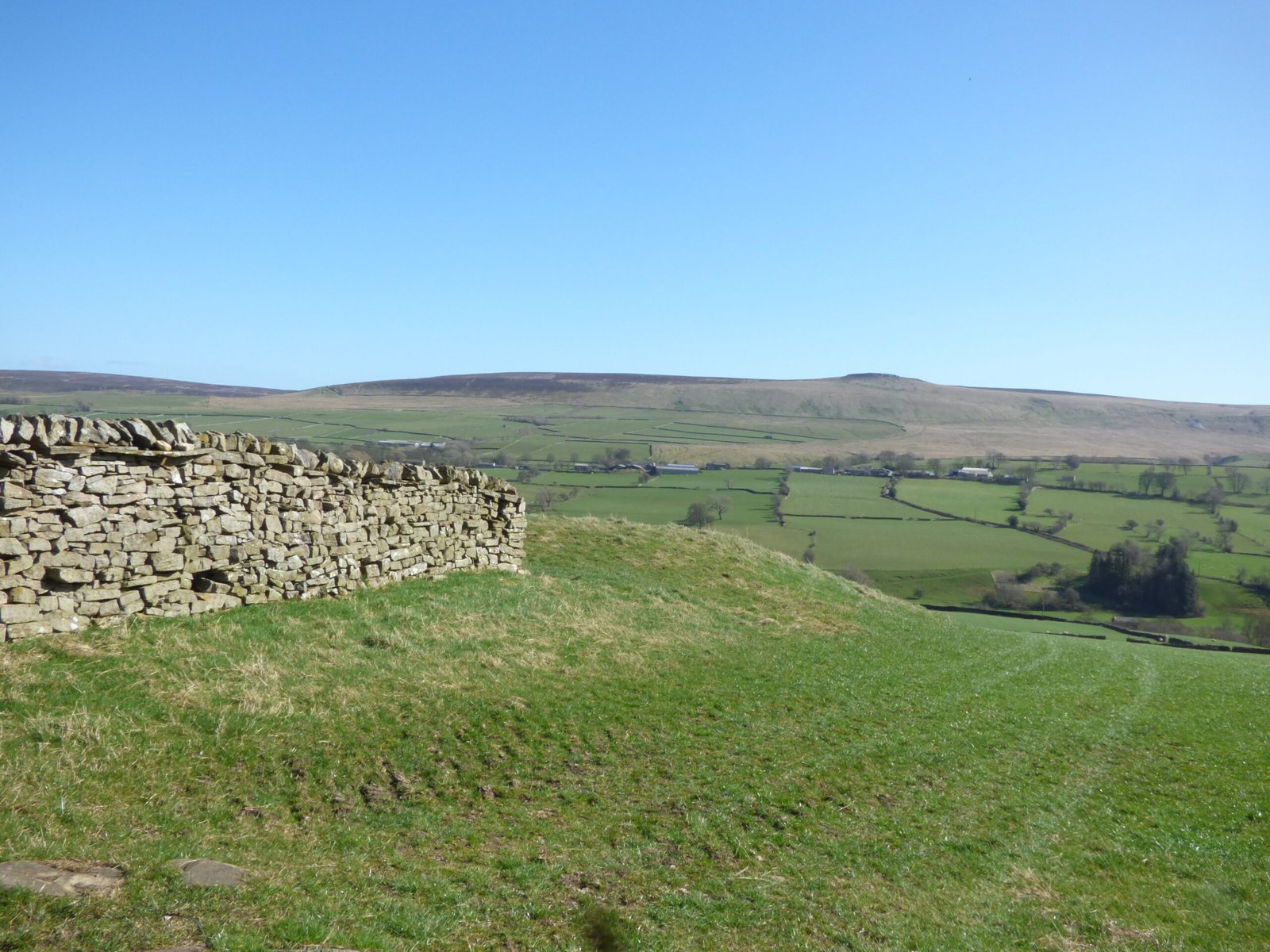
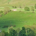
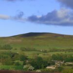
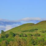
Coverdale, located within theYorkshire Dales National Park, is a valley of great beauty and rich history. Its unique geography, fascinating geology, and enduring heritage combine to create a truly special place. Coverdale is home to at least two Iron Age hill forts, and a long history of mining and landscape transformation.
"At one corner of Middleham a road turns into the valley of Coverdale, and to follow it is to lose yourself in a country which seems to have stood still for 100 years. It is the most self-contained of all the branch dales. Joining in the Castle at its foot, it has at Coverham the ruin of its own abbey, which was founded by the Nevilles. Part of the abbot's house is incorporated in a later building, but only fragments are left of the abbey, which used to be famous for its singing. You feel like anyone living by the River Cover should sing, for it ripples and warbles down the whole of its course, and the birds in the trees which overhang it seem to be inspired by its MUSIC. It is a river to be reckoned with; when it joins the river Ure near East Witton it is almost as large as the mother stream." Ella Pontefract and Marie Hartley - Yorkshire Tour, 1946.
Geography
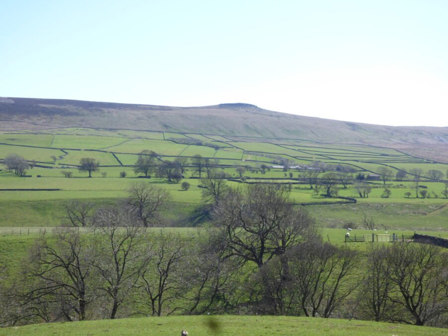
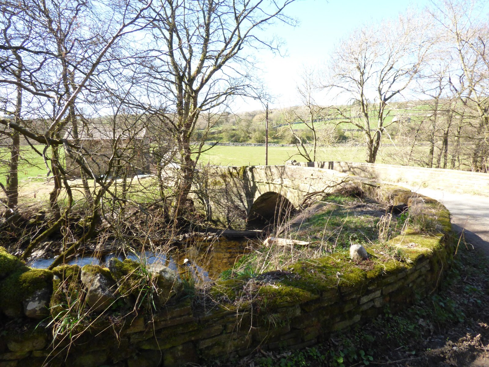
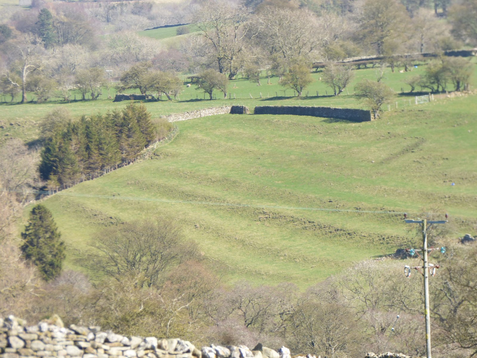
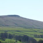
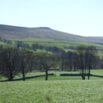
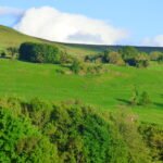
Coverdale is a classic example of a glacial valley, its shape dramatically sculpted by the movement of ice during the Ice Age. The valley floor is relatively flat, a testament to the erosive power of glaciers. The valley sides, however, are steep and dramatic, rising to impressive heights. The River Cover, the valley's namesake, meanders through the valley floor, its gentle flow a contrast to the ruggedness of the surrounding landscape. The valley's gentle slopes are ideal for agriculture, and the area is dotted with numerous farms and fields. The landscape is a patchwork of green fields and stone walls, a testament to centuries of human interaction with the land.
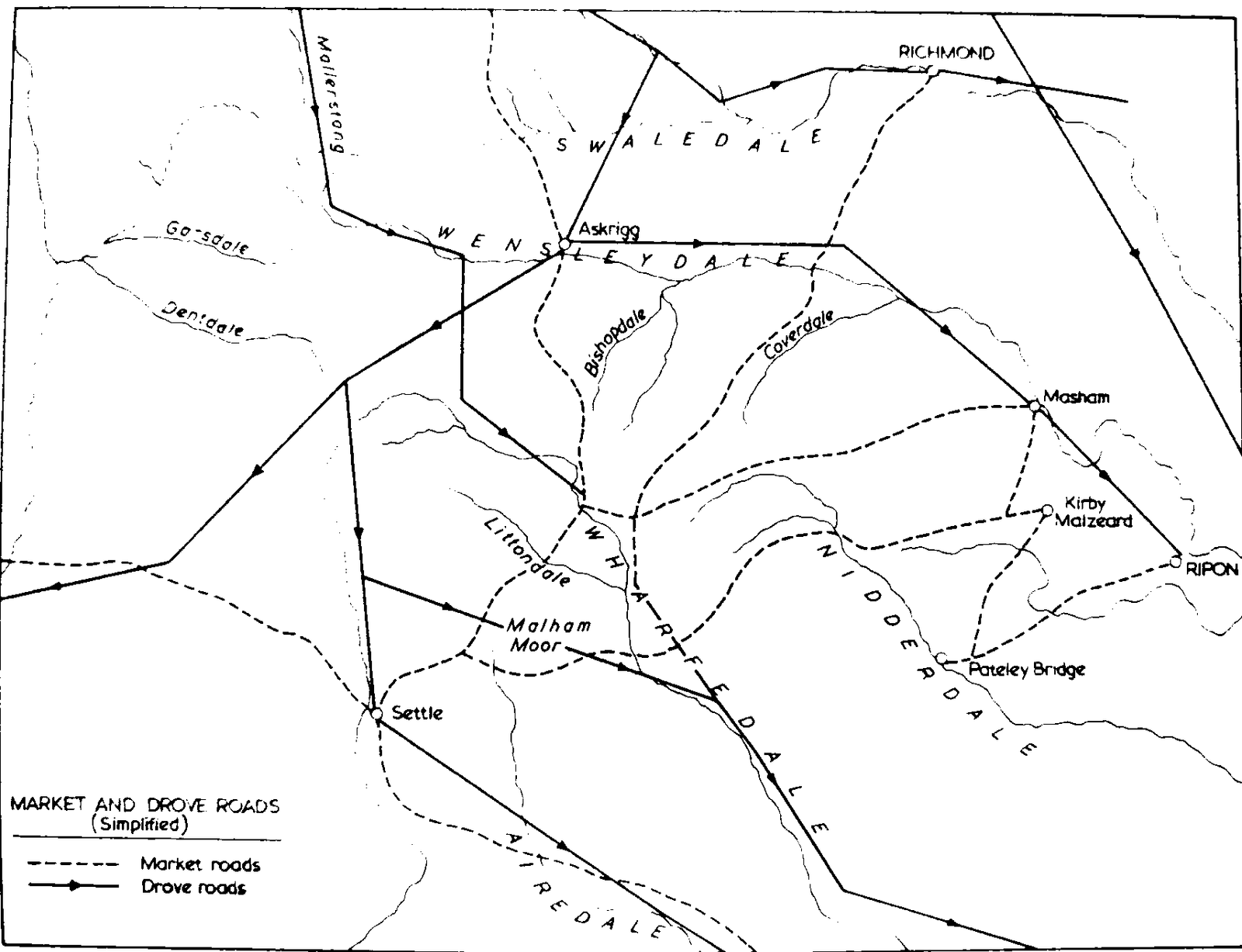
"Coverdale is a narrow valley - you can stand on the road on one side of the river - and it is almost unbelievably quiet. The stillness is probably due to the fact that it has no through road for motorists, except for the intrepid ones who venture over the Park Rash Pass into Kettlewell in Wharfdale. This is a comparatively recent state; the road was feasible for horse transport, and for a short time the London to Richmond coach came this way. There was also the traffic from the Packhorse and drovers' path which turned at Arkleside near the head of the valley to go between the hills of the Great and Little Whernside into Nidderdale. Perhaps its time of quietness is almost ended, for there has been talk of making the Park Rash Pass road into a tarred road." Ella Pontefract and Marie Hartley - Yorkshire Tour, 1946.
Geology
The geology of Coverdale is predominantly composed of sedimentary rocks, primarily Limestone and Shale. These rocks were laid down millions of years ago in a shallow sea. The layers of rock, visible in the valley sides, reveal a complex geological history. The limestone formations have given rise to numerous caves and underground streams, evidence of the area's unique karst landscape. The presence of these rocks also supports a rich variety of flora and fauna, adding to the valley's biodiversity. The area's geological features have played a significant role in shaping the landscape and the human settlement patterns within the valley.
"There lingers in this valley some faint memory from a time when there was life in the fells, echoes of pagan customs existing when the Norsemen came and added to them their own beliefs. The superstitions of these people have not completely died out here. The hamlets and villages dotted up it have Scandinavian names such as Scrafton, Gammersgill, Woodale, Arkleside, and Carlton. Penhill on the north has one of the British names in the dales." Ella Pontefract and Marie Hartley - Yorkshire Tour, 1946.
Heritage
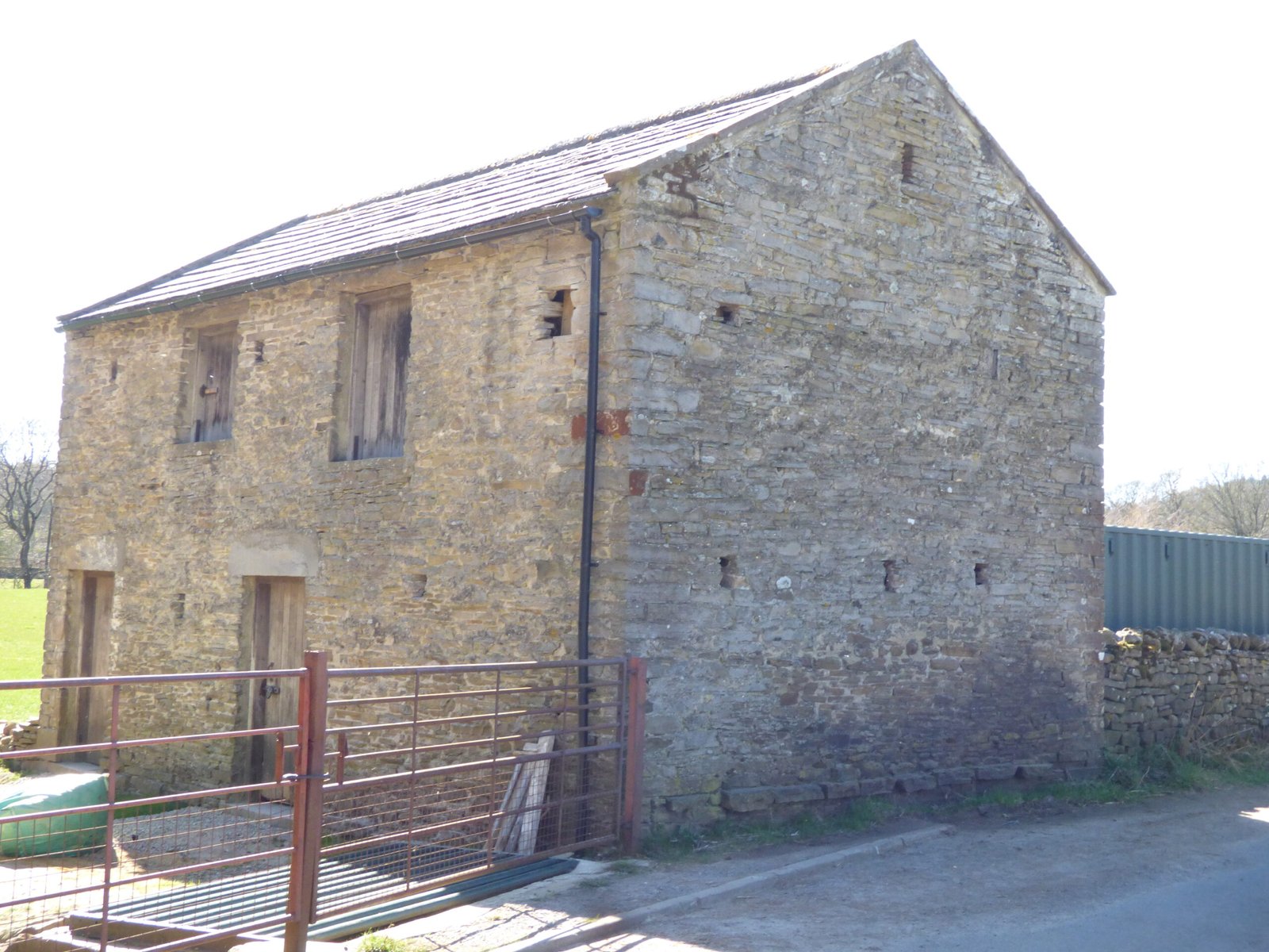
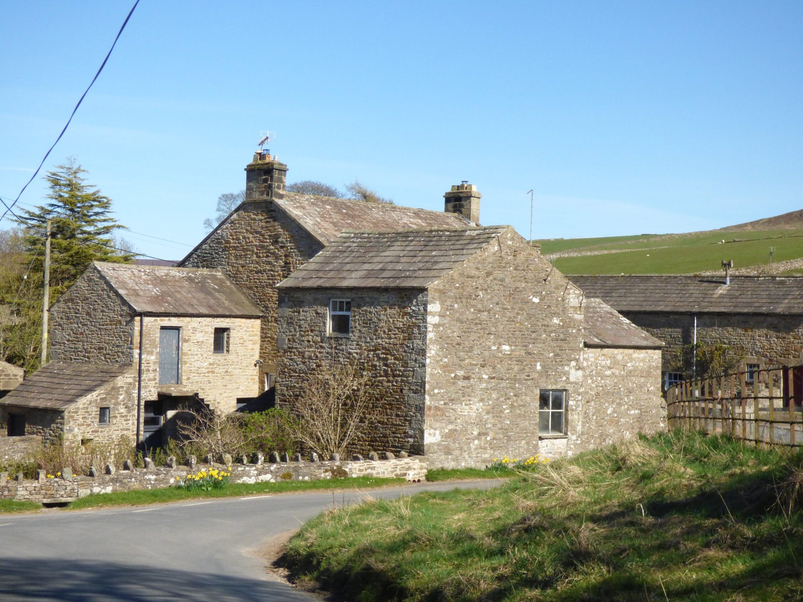
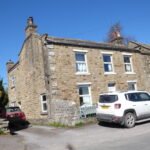
Coverdale's history is deeply intertwined with its landscape. Evidence of human settlement dates back to prehistoric times, with archaeological finds suggesting early human activity. The valley's fertile land has supported agriculture for centuries, with farming playing a central role in the community's development. The numerous farms and settlements that dot the valley are a testament to this enduring agricultural tradition. The valley's strategic location also played a role in its history, with evidence of Roman and medieval activity. The dry-stone walls, a testament to the skill and artistry of local builders, are a defining feature of the landscape, adding to the valley's unique charm. Coverdale's heritage is not just found in its physical features, but also in the stories and traditions of its people, passed down through generations.
Mining
There are some early references for mining in the dale. In 1334 it is recorded that the monks of Jervaulx were working coal in Coverdale.
Legends
"There is a legend of a wicked giant of Penhill, who, finding his swine dead, rushed out in anger to slay the people, but was turned by his dog, and the two of them fell to their death over a precipice." Ella Pontefract and Marie Hartley - Yorkshire Tour, 1946.
How the monks of Jervaulx Abbey and Coverham Priory/Abbey shaped land-holding and everyday life in Coverdale
The following table summarises the relationship between the Cistercian Monks of Jervaulx Abbey, and the PremonstratensianMonks of Coverham Priory.
• Large wool-based economy; sheep flocks pastured seasonally on the high moors of Coverdale and Bishopdale. • Ran the only Monday market “within two leagues” at East Witton—a choke-point for dale produce and a source of tolls.
• Held the parish church of Coverham from its foundation endowment; received all great tithes across the dale. • Farmed granges at Arundel, Slapegill, Caldbergh &c.; Carlton-Flatts supplied hay and cattle fodder for the canons’ home farm.
• Tenants paid rents both in cash and in kind (wool, lamb, butter). • Market tolls and tithe assessments channelled a proportion of every harvest—crop or livestock—into monastic barns.
Competition & cooperation
Monks objected when Ralph Neville, earl of Westmorland, secured a royal charter (1389) for a rival Monday market at Middleham; their protest failed.
Neville simultaneously swapped land with Coverham (1405), giving the canons five new granges—Scrafton, Swineside, Hindlethwaite, Arkleside and Carlton-Flatts—in return for half Kettlewell manor (needed for Neville’s deer-park).
• Middleham’s new market let Coverdale farmers sell without passing Jervaulx’s toll-gate, diluting Cistercian control. • The 1405 swap concentrated Coverham’s holdings inside the dale; villagers now dealt mainly with a local landlord-abbey rather than one based over the watershed.
Pastoral & social role
None—Cistercians avoided parish work.
Sole responsibility for divine service, burial rites and the chapels of ease (e.g. Horsehouse). Curate supported by a small pension from the abbey (£5 6s 8d) plus gifts from dale families.
• Monks of Coverham baptised, married and buried everyone; abbey festal days shaped the dale calendar. • Lay labourers (carters, shepherds, masons) found seasonal work on monastic estates.
Dissolution & the Pilgrimage of Grace (1536-7)
Abbot Adam Sedber tried to hide on Witton Fell; forced back to Jervaulx, joined the rising, and was executed in 1537.
Coverham (suppressed Aug 1536) was briefly restored when Coverdale rebels reopened the cloister and reinstated the canons. Canon Helaigh became a local “captain” of the revolt. turn5file18
• Seeing both houses closed, many dale folk feared loss of livelihood and spiritual care; the uprising centred on Captain Poverty language. • After the revolt failed, tithes, granges and woods were sold off, breaking the customary safety-net of alms, lamb-ale and winter fodder hand-outs.
Post-Dissolution land transfers
The site of Jervaulx and several former Cistercian estates were granted in 1544 to Matthew, earl of Lennox, and his wife Margaret Tudor. The same patent bundled in Coverdale granges that had belonged to Coverham.
Most Coverham estates were first leased (1537) to Rec. Leonard Beckwith, then sold piecemeal: - Carlton-Flatts & four other granges went via Darcy, the Lennoxes and later private speculators (e.g. John Lambert, 1658). turn5file6
• Villagers now paid commercial rents to distant lay landlords instead of works-service to monks; customary fines (gressoms) began to creep up. • Tithe income, once spent locally on the cure of souls, was siphoned off by impropriators, sparking recurrent lawsuits over small tithes and hay-tithes.
Long-term consequences
Loss of Jervaulx’s East Witton monopoly let Middleham and market towns on the Ure flourish, pulling trade out of the dale.
With no resident canons, Coverham church slid into poverty; perpetual curates struggled on minimal stipends until 19th-c. augmentation.
• Fragmented landownership and competing lay lords (Nevilles, City of London, Lennox, Lambert) produced a patchwork of tenures that shaped enclosure debates and 17-c./18-c. “tenant-right” litigation. • Memory of generous monastic hospitality lingered, feeding 17-c. folk tales of “golden times before the Fall of the Abbeys”.
Key take-aways for students of medieval and early-modern landholding
Dual monastic presence gave Coverdale an unusual mix of Cistercian market-capitalism (wool, tolls) and Premonstratensian pastoralism (parish cure, small-scale mixed farming).
Competition—not cooperation—was the norm: the Middleham market charter shows secular lords exploited rivalries between houses to enhance their own revenue.
Dissolution redistributed, rather than freed, resources: granges, tithes and woods passed swiftly into the hands of court clients and speculators, tightening rather than loosening external control.
Local people lost institutional buffers: alms, hospitality, seasonal labour and spiritual services that had cushioned the poor disappeared or became fee-based, sharpening social stratification in post-Reformation Coverdale.
Together, the intertwined fortunes of Jervaulx and Coverham illustrate how monastic rivalries, royal intervention and Reformation politics could reshape a dale-side community’s landscape, markets and livelihoods within little more than a century.


"There lingers in this valley some faint memory from a time when there was life in the fells, echoes of pagan customs existing when the Norsemen came and added to them their own beliefs. The superstitions of these people have not completely died out here. The hamlets and villages dotted up it have Scandinavian names such as Scrafton, Gammersgill, Woodale, Arkleside, and Carlton. Penhill on the north has one of the British names in the dales." Ella Pontefract and Marie Hartley - Yorkshire Tour, 1946.


")


