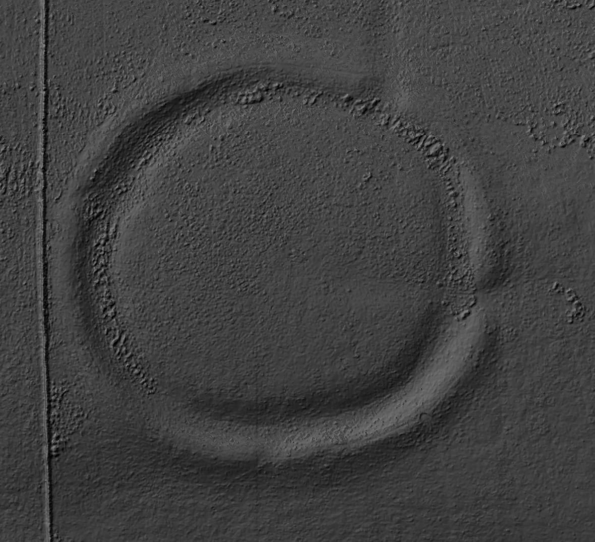
Flats Hill mound is approximately 30 meters in diameter and stands about 3.6 meters high. It has never been excavated, Read more
Black Dike - OS Series 1 - National Library of Scotland
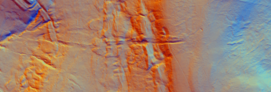
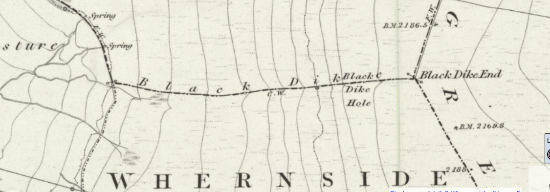
Black Dike - 1m LiDAR - National Library of Scotland
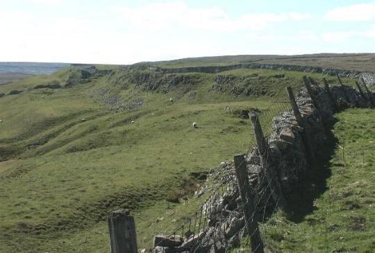
Black Dike
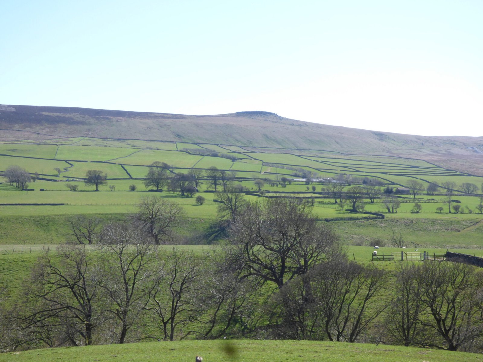
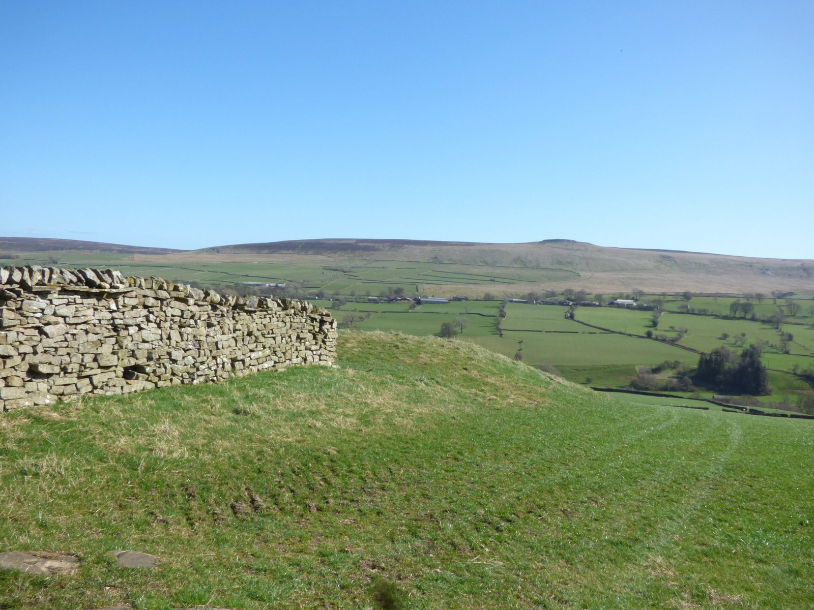
Black Dike is the diminutive counterpart to the great Tor Dike, rising from its western arm and climbing to the watershed between Great and Little Whernside. Beginning at roughly SD 988 756—where Tor Dike cleaves the LimestoneScarp—the Black Dike pursues a steep, sinuous course uphill for nearly 0.6 km, finally spilling onto the ridge crest at about 675 m above sea level (swaag.org).
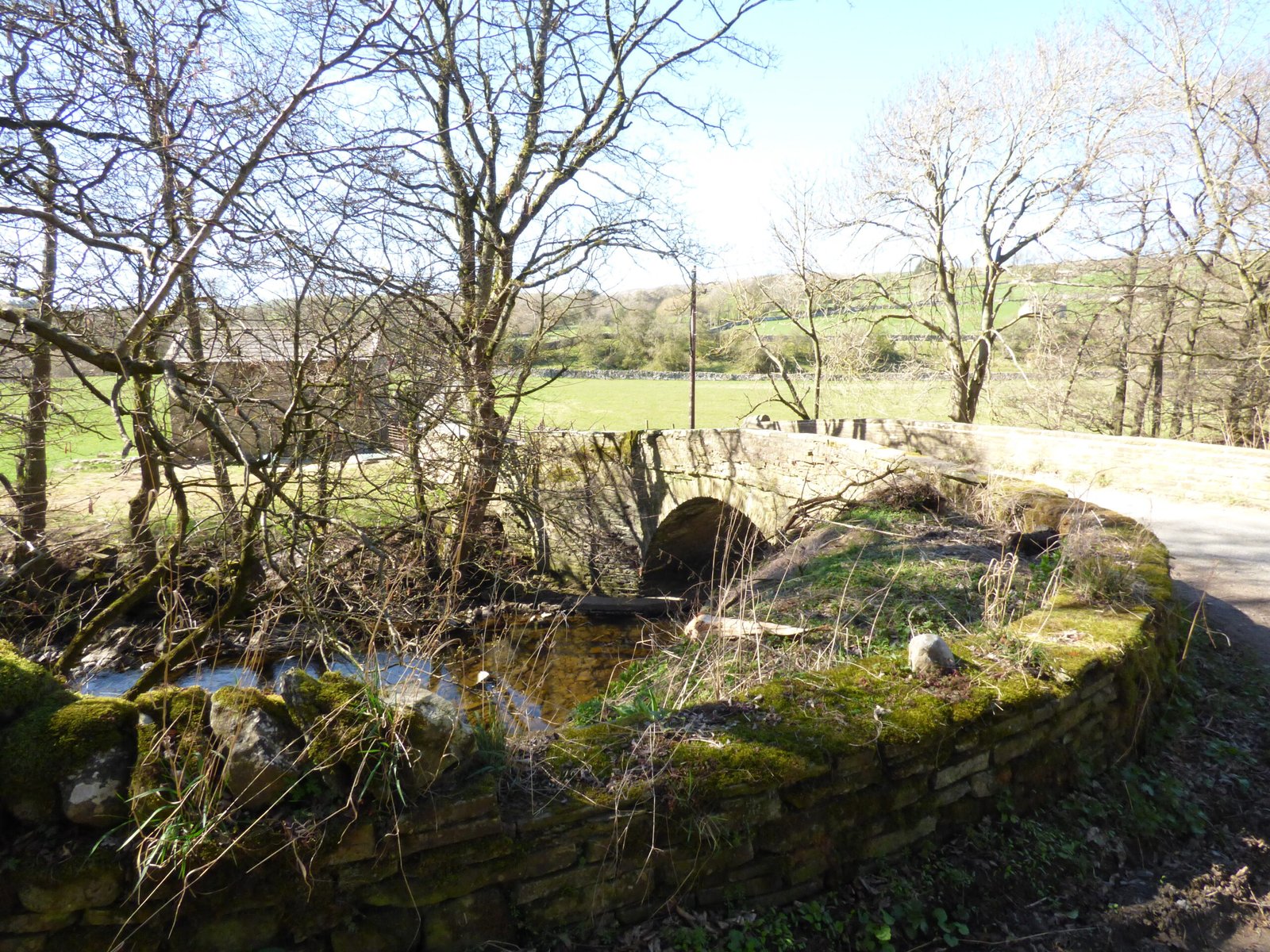
Unlike Tor Dike’s substantial bank-and-ditch monument, Black Dike is primarily a narrow, rock-cut trench, often little more than 1–2 m wide, with only slight spoil-heaps on its downslope edge. In places the cut is hewn directly into the Great Scar Limestone, exploiting natural weaknesses in the rock; elsewhere it is simply scarped into the turf. The feature was once more prominent—straight sections now survive as shadowed hollows beneath the modern dry-stone boundary wall that often aligns with its course (swaag.org).
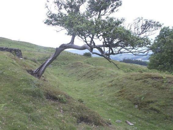
Field observation and aerial LiDAR imagery reveal that small, sub-rectangular enclosures and turf-lined hut circles flank Black Dike both above and below the trench. These shieling-style structures, visible as low platforms a few metres across, suggest that the dyke was more than a territorial barricade: it formed the focus for seasonal grazing and community gatherings at this juncture of upland pastures (swaag.org).
Its form and relationship to Tor Dike point to a broadly comparable date. While Tor Dike itself has been variously ascribed to the late Iron Age or early medieval (5th–9th century AD) boundary of the kingdom of Craven, Black Dike seems to be a secondary phase—an infill or re-cutting of an earlier frontier line. No direct radiocarbon dates exist for the trench, but the associated hut circles yielded sherds of South Pennine “Decorated Ware” in surface collection surveys, which typically date to the 4th–1st century BC (swaag.org). It seems likely that Black Dike began life as an Iron-Age land boundary, then continued in use—perhaps with periodic re-profiling—through the early medieval period.


")


