This article explores the most tangible evidence we possess for indigenous minting north of the Humber: the smashed ceramic “pellet-mould” Read more
Braithwaite Wood, Iron Age Fort - East Witton
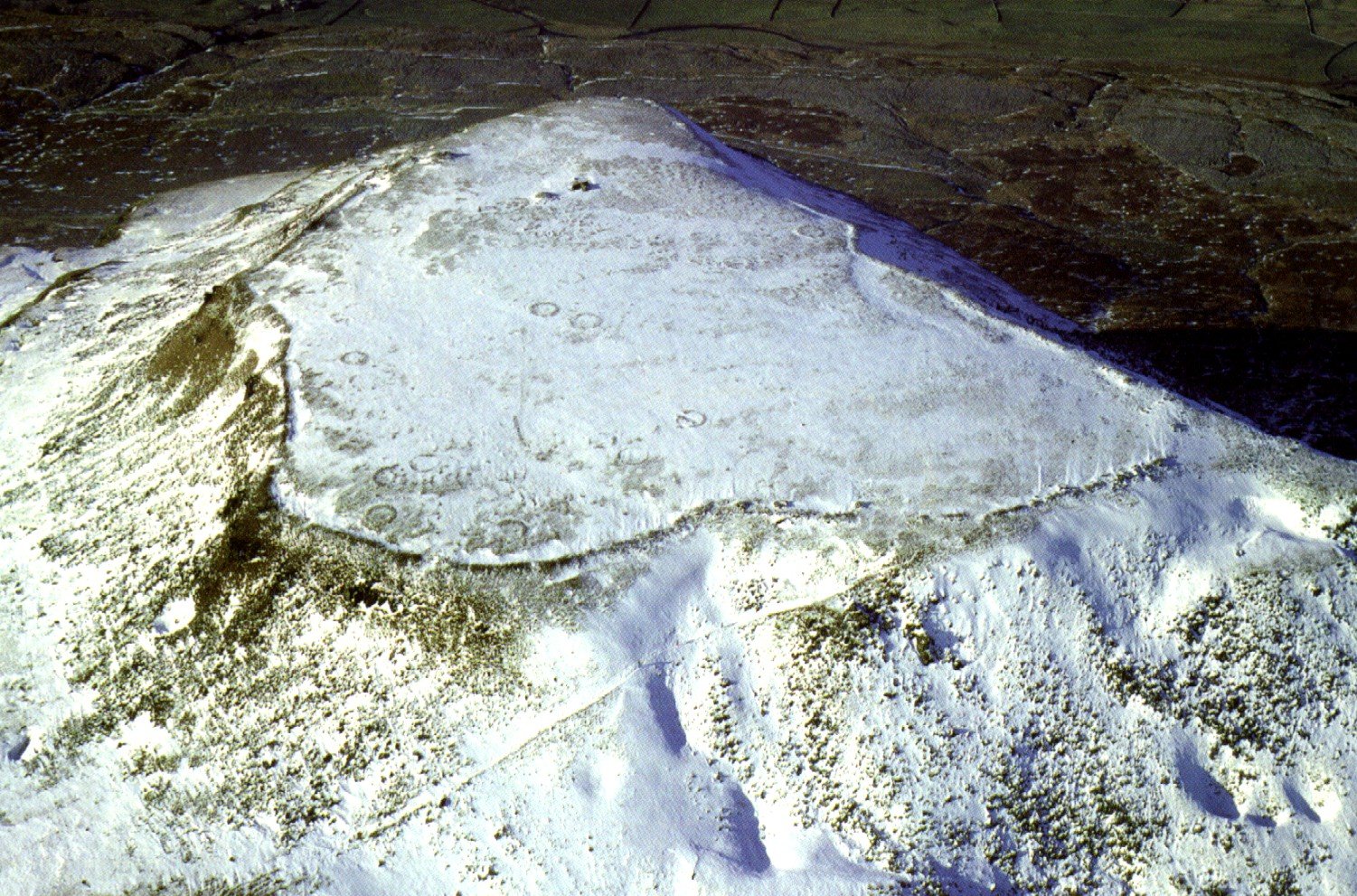
The Earthwork known in the National Trust inventory as East Witton Camp lies on the north-facing slope of Braithwaite Banks, only a couple of hundred metres uphill from Braithwaite Hall. It is a small, roughly oval Iron-Age enclosure that covers about two and a quarter acres (just under a hectare). A stone-cored rampart and an outer ditch run right round the perimeter except on the east, where the builders seem to have relied on the steep ravine of Red Beck for protection; modern widening of the farm track has removed any surviving bank on that side. The rampart still stands nearly two metres high on the south and the ditch there sinks about 1.3 metres below the interior, but both features fade out to little more than scarps beneath bracken on the northern flank. Two original entrances are recognised: one at the north-west corner and another on the south side. The southern entrance has been tidied up in later times with a kerb of big boulders, so it may have stayed in use long after the Iron Age. Inside the main circuit a second, squarish line of bank and ditch can just be traced near the south-east corner; it encloses a space about forty-five metres across, though cultivation has almost levelled it. Quarrying on the south-east and a plough-flattened platform on the north show that parts of the work have been robbed or cultivated, but the defences remain sharply profiled over most of their course. (heritagerecords.nationaltrust.org.uk)
Apart from a brief description in the Victoria County History of 1912 and routine Ordnance Survey field notes made in 1977, the site has never been excavated, and no artefacts have been recovered from secure layers. The univallate plan, the stone-cored bank and the choice of a commanding, though not summit-top, position all point to a middle or later Iron-Age date, but without digging that assignment remains provisional. In recent years the earthwork has attracted some informal interest from landscape enthusiasts who link it with Castle Steads and other small forts west of the River Cover, suggesting that the group may once have policed upland mineral workings, yet this remains speculation awaiting hard evidence. (themodernantiquarian.com)
Today East Witton Camp is a scheduled monument and part of the National Trust estate around Braithwaite Hall. Its banks are still clear in winter pasture and make an easy circuit for visitors, but archaeological attention has so far stopped at detailed topographic survey; no geophysics, coring or trial-trenching has been attempted. The absence of excavation means the fort retains a largely untouched interior that could, with minimal intervention, yield firm dating and a first picture of how people once used this modest strong-point overlooking Coverdale.
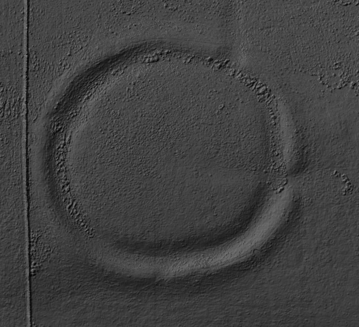
Braithwaite Wood as it appears on the 1850s OS map.Part of the ramparts of Braithwaite Wood fort.


 Braithwaite Wood as it appears on the 1850s OS map.
 Part of the ramparts of Braithwaite Wood fort.
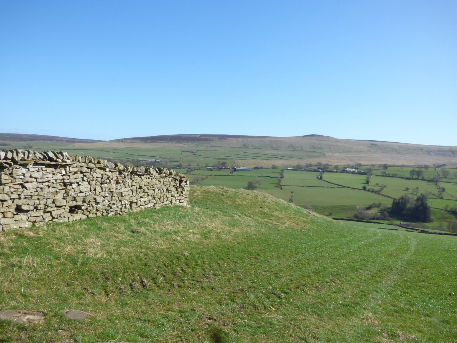


