Notice: Function WP_Scripts::add was called incorrectly. The script with the handle "datatables-responsive" was enqueued with dependencies that are not registered: datatables. Please see Debugging in WordPress for more information. (This message was added in version 6.9.1.) in /home/u621095157/domains/brigantesnation.com/public_html/wp-includes/functions.php on line 6131
Home » Blogs » Greta Bridge Roman Fort, County Durham
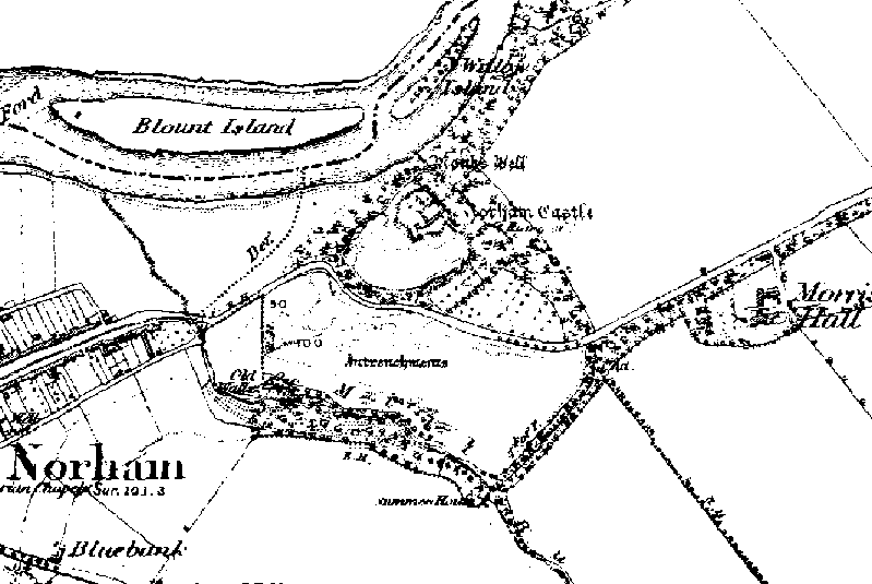
Norham Fort - Northumberland 1850 map showing the entrenchments recently 'discovered'. Iron Age ramparts unearthed Aug 7 2002 By The Read more
Southern rampart ditches.
Southern Rampart ditches.
Earthwork outside of the main fort are by the river Greta.
“The position at Greta Bridge presents many points of similarity with Bowes, but the rectangular area inclosed is 3 acres, and the Earthworks are more perfect, espacially on the south, where there is a fine double vallum and ditch with well-marked entrance 25ft in width. The fort lies between the River Greta and the Tutta Beck, just south of their junction, while the Rom,an Road skirts its northern edge, of which vestiges still remain in the gardens of the houses there. The eastern side descends in a double Scarp to the low, marshy bank of the Greta, while on the west, where the rampart has been lowered, the slope is more gentle towards the stream and the existing road occupies the place of the original ditch. The southern rampart, as at Bowes, shows a core of stone.” From Victoria Histories 1912