Category: Hill Fort

The Story of Boltby Scar

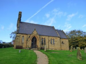
Boltby Church, Yorkshire Moors

Boltby is a very important ancient site IMO. A gold “hair braid”, was found there, linking it to the Amesbury Archer, buried with two similar hair braids. This also provides a link to the founding of Stonehenge, which helps set a potential scene for a possible “zeitgeist”, of the day.
Swaledale

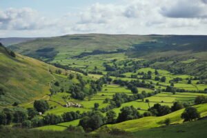
2015 Swaledale from Kisdon Hill

Swaledale occupies the long, sinuous valley carved by the River Swale on its 45-kilometre descent from Nine Standards Rigg (662 m) on the Pennine watershed to Richmond in lower Teesdale. The dale narrows between rough gritstone scarps near Keld, broadens to a patchwork of hay-meadows around Muker and Gunnerside, then opens into a tree-fringed flood-plain west of Reeth before the river cuts through the Carboniferous escarpment to meet the Vale of Mowbray.

The hero archetype and Lugh

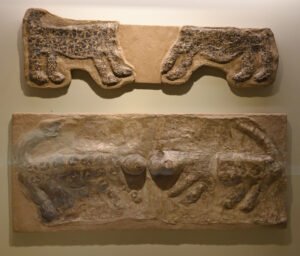
Museum of Anatolian Civilizations Ƈatalhƶyük Leopard reliefs all in 2019 01

At its core the ā€œheroā€ is the figure who steps out of ordinary society, confronts chaos or a monster, and returns (or dies) having secured order for the group. In Jungian and comparative-myth terms it sits in the ā€œwarrior-championā€ slot of the collective story-board; evolutionists would say it crystallises the survival value of decisive coalition leadership in small bands.

Castro de Trona fort – Pontevedra, Spain

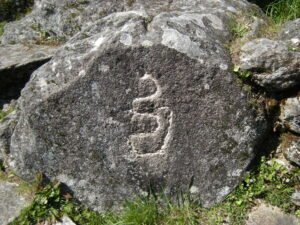
Petroglifo castro TroƱa

Castro de Trona is an oval enclosure with significant terracing to the west and a large ditch to the east. This castro (a hillfort settlement) has an accepted date of around 600 BCE. Like many others in Galicia, this castro reached its peak during the 1st and 2nd centuries CE. It measures approximately 200 metres east to west by 150 metres north to south.

Wincobank Hill Fort

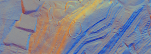
Wincobank Fort – LiDAR – National Library of Scotland 3

This is an oval fort with an internal area of 2.5 acres. A bank, ditch and counterscarp bank are continuous around it except on the N side where ditch and counterscarp have been destroyed.

Scoles Coppice Fort

Scholes (or Scoles) Coppice Camp (sometimes called ā€œCaesar’s Campā€) lies just north-west of Kimberworth in Rotherham, atop the same Magnesian Limestone ridge that carries the Roman Rig. Its grid reference is roughly SE 436 937, placing it only 200–300 m to the north of the Rig’s northern branch

Tor Dyke

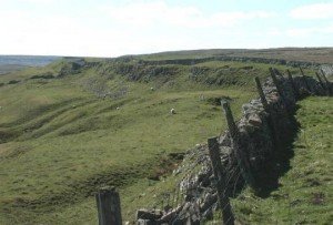
Tor Dyke appears to have been attributed to Venutius which dates it of the period AD 52 – 70. The presence of a legionary size marching camp a few miles to the southwest at Malham certainly indicates an active role in the Roman advance of AD 70. However, given the lack of published research so far a clear picture has yet to emerge.

Hillforts: Defence or Ritual? – Part 1

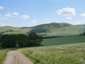
View to Yeavering Bell

Over the last five years Iron-Age specialists have been re-examining what British hillforts were really for. The question is no longer just ā€œfortress or farm?ā€ but whether many of them were built first and foremost as places of gathering, display and ritual.

Guide: Hillfort Mounds of Europe

Trelleborg airphoto

Guide: Common Features of Iron Age Hillforts This article attempts to serve as a guide for many of the features of the hillforts found in Britain, in Read more Guide: Iron-Age minting: Ceramic pellet-mould trays This article explores the most tangible evidence we possess for indigenous minting north of the Humber: the smashed ceramic ā€œpellet-mouldā€ …

Continue reading

Vitrified Fort Sites

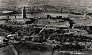
1930s photograph of Castle Hill

This page is a master placeholder for all vitrified fort sites in the Vitrified Forts section of Brigantes Nation.

Contact Us
close slider