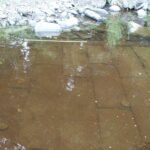
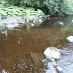
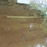
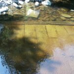
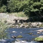
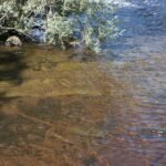
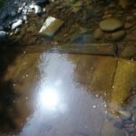
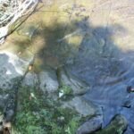
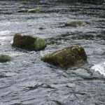
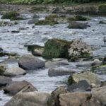
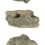
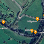
The Roman Ford at Barnard Castle, located on the River Tees, is a fascinating historical site. It is believed to have been part of a Roman road connecting Bowes (Lavatrae) and Binchester (Vinovium), indicating the area's significance during the Roman era. The ford crosses the Tees diagonally, about 150 meters upstream from the modern road bridge, and is constructed from well-squared stone blocks. Although much of it is now submerged or buried under river stones, parts of the structure are still visible, especially during periods of low water. This ford highlights the engineering skills of the Romans and their ability to create durable infrastructure.
Startforth is a corruption of "Street Ford" meaning a ford for a Roman road which crossed the Tees here. Current research indicates the ford was last recorded more than one hundred years ago, the low water of the summer of 2003 allowed our researchers a clear view of the ford as it meets the south bank of the Tees. This note records our research so far. We have contacted the SMR (Durham) and are waiting for further notes.

Plan of the ford structure - 16/08/03
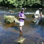
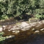
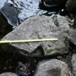
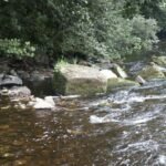
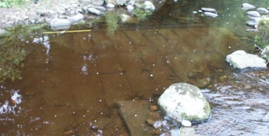
The ford is located some 150 metres upstream of the road bridge to Barnard Castle across the river Tees. It appears to cross the Tees at a diagonal to the river, joining the northern bank approximately at the point matching the location of the modern weir. A relatively large section of the ford is still visible, covering an area of approximately 10m by 3m. It is highly likely that more of the ford still survives, and is simply buried under the river deposited stones.


Construction
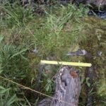
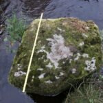
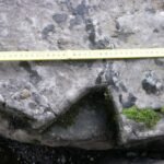
The ford is constructed of well squared stone blocks, these measure a pretty much uniform 30cm wide, but the lengths vary between 1.2m and 30cm. The ford has been constructed in a highly uniform way, the paving slabs apparently being foreshortened where appropriate to provide a pavement constructed of interlaced masonry. Only the upriver - western edge of the ford is visible, the eastern side being covered by a thick stone scatter, however, the structure of the ford seems more or less intact and there is every reason to believe that under this scatter more of the ford will be hidden.
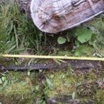
Along the upriver side of the ford is a large wooden beam, this has been held in place using steel pins placed at a regular interval along its length - 1m or so. Only a single 3m length of the beam was apparent, this seemed to be an original feature and would appear to be odd, given the apparent structural nature of the beam - tying the individual stones together at a point of apparent stress and weakness. This may have been accounted for by the possible use of concrete as a mortar further along the fords' length (7m or so), however, the depth of water was too great to allow for an accurate assessment to be made.
The ford was visible for 10m of its length at the time of the site survey, which was an August day following a long period with little rain, all the ford was covered in water, indicating that this was a fortunate sighting of this rare object.


Relationship with the weir
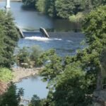
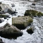
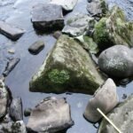
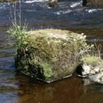
Two points were noticed in regard to the ford. Firstly, the ford seemed to lack a number of the strengthening features which has been observed on other river fords - opus revinctum, mortar (see note above) and wooden piles. Secondly, there seemed an obvious relationship between the ford, and an ancient weir at the same location. The weir, we have discovered, belonged to Ullathorne's Mill (Bridge End Mill - shoe thread manufacturing), which was built in 1798. Initial investigations suggest that the weir was built immediately in front of the ford, it appears to sit side by side with the ford (i.e. does not overlay it) and indeed seems to be contemporary with it. The above pictures show the weir before it was destroyed (cause unknown), and the lie of the ford plotted on a current photograph. In addition to this, the ford was surrounded by Squared masonry blocks, which were apparently debris from the weir - some of these had steel straps which may have been opus revinctum (see below).
Either this ford is modern, or the weir was Roman.

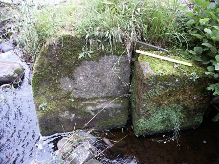
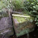
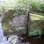
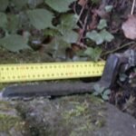
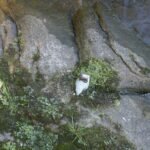
The above pictures show (left) a heavy stone block, probably part of the destroyed weir sitting on top of the ford, and, (right) this stone construction, was part of the weir and seems to be more or less in the original location, just upriver of the ford, it comprises several large (1 ton+) blocks held together with at least five iron straps, detail of which shown below.


Scattered
Research Notes
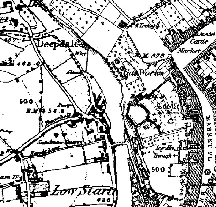
Startforth Ford; Roman Ford. Site of the Roman Ford across the Tees on the Bowes(Lavatrae), to Binchester(Vinovia), road. The place name Startforth is likely to be a corruption of "Street Ford". The road has been observed twice, in 1839 and in 1886 during construction work on the Barnard Castle Gas Works site on the north bank of the Tees. The road was observed some 6 feet below the then ground surface and measured some 12 feet across. The road was first observed to be made of Limestone rock placed edgeways and compacted with sandstone fragments. Later it was seen to be paved with stone blocks measuring 15 inches square and arranged diagonally to the course of the road. It has been suggested that this represents the surfacing of the ford{Ref.1}.
SMR number: 3859 General historical period: Roman - from AD70 to C5 OS grid reference to nearest 1km: NZ0416 Further reading: {ref. 1} Margary, I.D.. Roman Roads In Britain. SMR, 1973. P436. {ref. 2} Wright, R.P.. Archaeologia Aeliana. SMR, Series 4, No.14, Page 194. {ref. 3} Wright, R.P.. Yorkshire Archaeological Journal. SMR, Volume 33, Page 227.
The village of Startforth is situated on the south bank of the Tees, opposite Barnard Castle, at a point where the old Roman road from Bowes crossed the river, and hence its name of Stratford (corrupted in later times into Startforth), that is the ford on the street or Roman road. A stone bridge of two arches, supposed to have been built in 1569, and partially rebuilt after the flood of 1771, connects the village with Barnard Castle. - Bulmers directory, 1890.

