Visible Remains
“The identity of an Earthwork can be determined to a certain extent by the shape of the field marking that is left. If it is square or rectangular with rounded comers, it is highly likely that the constructors were from the Roman army. If it is an irregular quadrilateral with a gateway on the eastern side, then the originators were Roman-period British (Celtic) farmers. Circular ditches usually surrounded the defended pre-Roman Iron Age Celtic settlements. Other archaeological sites such as prehistoric religious monuments (Henges) and burial mounds (Barrows) had their own distinctive shapes.” Ray Selkirk.
There are a large number of earthwork types which are related to the Iron Age, some include stonework or ditches but all can be included as Earthworks. The major feature types are identified here, a full index of feature types is available in our [su_button url=”https://brigantesnation.com/guide-glossary”]Glossary[/su_button] of prehistoric features.
Houses
Typically circular in plan, some square and rectangular buildings have also been found.
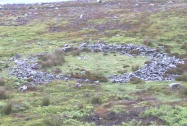
On upland soils where nothing has been built since the huts disappeared, the ring grooves or stone foundations may still be seen on the ground, or by the outline of an earth bank or ditch.
Hut circles may contain a central hearth or hearths, and in others, examples have been found of drains, sumps and paved stone floors.
In lowland areas, sites of homesteads may be detected on grassland by circular or rectangular ground impressions, and by the sharper outline caused by rings of lusher (ditch) or less lush (stone) grass.
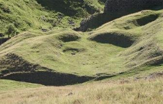
Houses can sometimes be identified by an area of leveling on a slope.
Enclosures
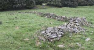
Some settlements were surrounded by a stone wall, some were enclosed by a palisade bank and ditch, others were undefended. Other enclosures, such as above, may have been animal enclosures.
Within the interior of the enclosure there may be visible signs of storage or refuse pits.
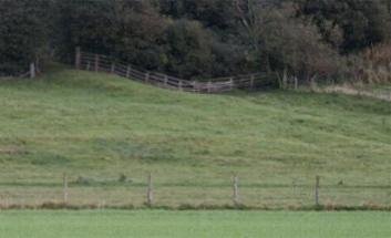
Linear depressions may indicate the position of a former protective ditch or ditches.
Old trackways and routes to the fields may be detected on the surface of the ground. The lines may show up more clearly in certain lighting conditions.
Some settlement areas seem to have been simply delineated on one or more side with a wall and ditch, in an alignment more likely to have been for boundary definition than defensive purposes.
Celtic fields and lynchets
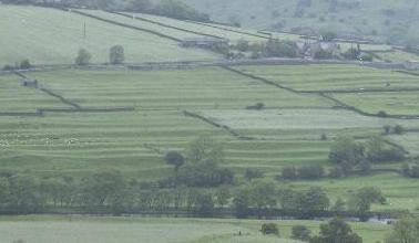
The Celtic fields and settlements of Grassington.
These are squarish to rectangular plots ranging in size, usually, from .25 to 2 acres (0.1 – 0.8ha).
The field boundaries are usually marked by ditches, low banks or walls of stone.
The fields may have a few circular hut foundations scattered among them.
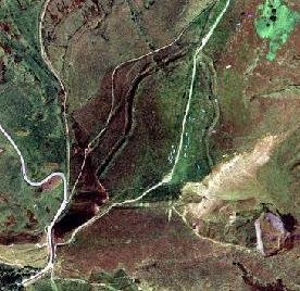
The strip lynchets of Reeth.
After constant ploughing, even on gentle slopes, the soil would creep down forming terraced banks or lynchets.
These are commonly confused with medieval fields which have ridge and furrow also.
Hillforts and Defended Enclosures
A hillfort is an enclosure, apparently fortified, sited in a position to achieve the ultimate defensive advantage, and usually not less than .5 acre (.2Ha) in enclosed area.
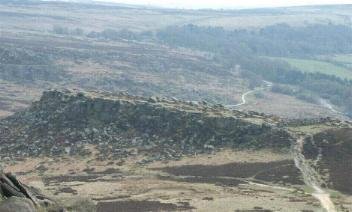
Mam Tor
Although the general perception is that all Iron Age fortifications are called hillforts, in actuality hillfort is a single category under the general term classification of Defended Enclosures. Often a fort can fall into several categories.
Univallate hillforts are defended by a single rampart of earth and / or stone rubble, with or without a trench or ditch, and following the contours or the hill. These hillforts have one or two entrances.
Carl Wark
Promontory forts are dramatically situated on headlands or on hill spurs protected by ramparts as well as by the existing natural features, such as cliffs and steep slopes.
Almondbury
Multi vallate hillforts developed two or more ramparts with accompanying ditches, and with elaborately defended entrance points.
Multiple Enclosure forts were built on hill-slopes with widely spaced earthworks.
Some of the hillforts were established in the Bronze Age, and continued as a characteristic feature of the Iron Age.
Many of the earthworks and ditches are still massively impressive, despite the ravages of time, weather and farming operations. In other examples the earthworks have been levelled.
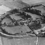
Wincobank
Where there where no hills, or for other tactical reasons, some forts were built on low ground with particularly strong ramparts.
Some hillforts show evidence that the defensive walls have been vitrified, the stone facing melted by incredibly high temperatures.
In areas where stone was available, the ramparts were constructed of stone or a core of rubble faced with stone blocks.
Although hill forts were a significant feature of the Iron Age, very few have been shown to have continued use, many were abandoned after a few generations of use, some after only a few years. The manner of construction of the hillfort is more indicative of the circumstances of it’s building, rather than an indicator of its date (i.e. univallate forts are not necessarily and early design).


