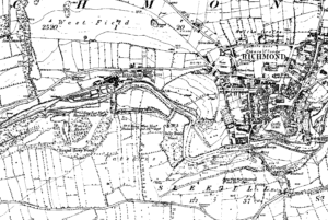
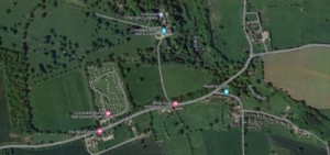
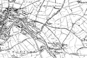
The field systems at Reeth are particularly noted for their historical coaxial layout, and are characterized by long, parallel boundaries that run across the landscape, a pattern indicative of significant central organization and planning.
Location: north-yorkshire
Bainbridge Roman Fort
Particularly of note is the multiple defense ditches to the west, the extension of the entire fort to the east and the well defined entranceway to the south (other entrances are available)But the real stunner is the 2 interior shots: firstly the interior of the classic fort itself where we have a road coming in from the south entrance and going north, surrounded by at least 5 buildings, all with wall lines clearly defined.
Bainbridge Camp – Hill Fort
The subject of much speculation and, frankly, little fact this looks like a classic hill fort to us, check out the below elevation map of the area with the hillfort showing up beautifully. We have also included elevation profiles so you, dear readers, can appreciate the classic hill top location: note how from all directions the hillfort perches nicely on the top of the highest point: visible from all directions and can see in all directions. A classic see & be seen location, achieving the twin aims of defence and impressing visitors.
Sinderby Henge
Although all the existing literature assures us that the Great Henge Alignments of North Yorkshire are now covered by – The Langthorpe Earthwork, Cana Barn Henge, Nunwick Henge and Hutton Moor, finishing with the astounding triple Henge alignment at Thornborough, this may not necessarily be the case.
Malham Roman Camp, North Yorkshire
← North YorkshireSite Details: Malham, in old English, means ‘the settlement in the gravelly place’, and they certainly knew what they were talking about. The village lies on the Craven district of Yorkshire, just inside the Yorkshire Dales National Park, an area of such outstanding beauty that, even in this outstandingly beautiful county it is …
Cana Barn Henge
The stats for this Neolithic monument are astounding: 200m across, once a great circle of earthen banks and deep ditches. Today, almost lost: 5,000 years of plough and neglect have flattened the banks and filled the ditches, and Cana Henge is now nothing but a smoothly undulating grassy field on the moor overlooking Ripon.
Mickley Riverworks
Site GalleryGallery Empty