""We were shocked to discover such a huge complex," said Alastair Oswald, archaeological field investigator for English Heritage. Preliminary examinations Read more
Site Details:
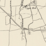
Mam Tor (“Mother Hill”), Castleton, Derbyshire — archaeology, history & the Brigantian question
Theme
Key facts
Sources
Topographic setting
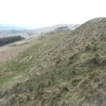
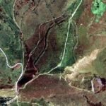
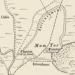
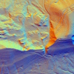
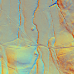
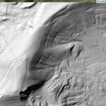
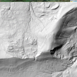
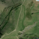
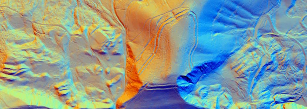
517 m OD grit-capped ridge at the junction of the Hope and Edale valleys, sitting on a huge rotational landslip that still moves a few cm each year. The summit commands wide views and the convergence of at least five natural passes through the Peak.
Mam Tor Grit (Namurian sandstone) over shales; the shales have slumped since the mid-Holocene, creating the famous stepped “mini-terraces” that slice the southern face.
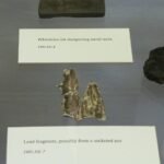
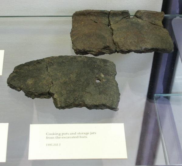
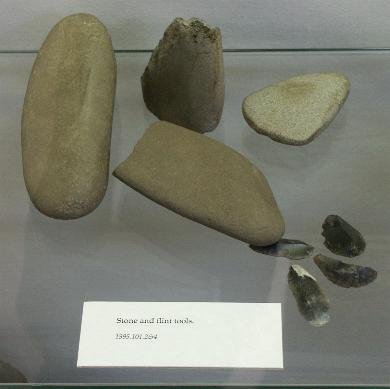
> 140 levelled hut-platforms (4–6 m Ø), hearths, stake slots, saddle-quern, barley and spelt grain.
Coombs & Thompson 1960–69 excavations; Derbyshire, HER MDR2223. (her.derbyshire.gov.uk)
Later reuse
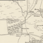
Romano-British potsherds are rare; scant evidence for post-Iron Age habitation. A 17th-c. drystone boundary (“Peak Forest Wall”) crosses the summit, and the 19th-c. turnpike skirts the landslip foot.
Gateway control: Mam Tor overlooks passes to the Derwent, Cheshire Plain and Trent headwaters.
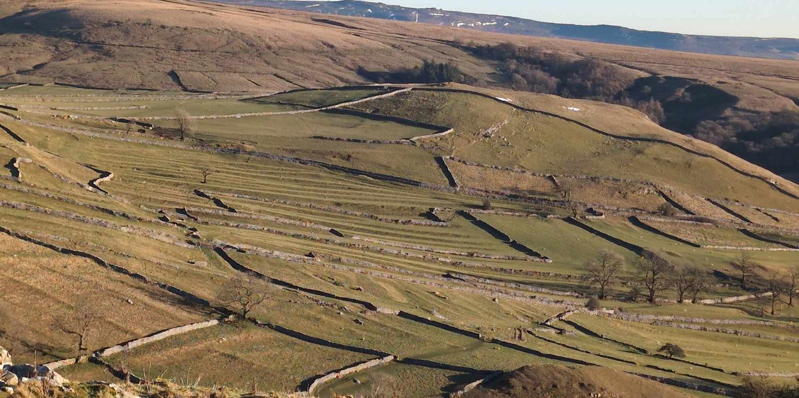
Upland pasture hub: palaeobotanical work shows managed heath and grazed grassland inside the ramparts.
Symbolic prominence: the barrows pre-date the fort, implying a long-lived sacred focus that late Bronze-Age groups monumentalised with ramparts.
Mam Tor and the Iron-Age Brigantes
Point
Discussion
Classical sources
Ptolemy (c. AD 150) places the Brigantes between the Tyne and Humber. He does not list Peak sites, but his coordinates are coarse.
Southern limit debate
Some scholars take the River Trent–upper Derwent as the Brigantian–Corieltavi/Cornovii frontier. Mam Tor sits just north of the Derwent head, so it could lie in extreme south-eastern Brigantia. Others place the line farther north (around modern Sheffield), which would leave Mam Tor outside Brigantia.
Material culture links
Pottery from Mam Tor is plain late Bronze-/early Iron-Age coarseware—neither distinct Arras (Parisi) nor early Pennine. No coinage or Roman militaria tie it to later Brigantian polities.
Comparative hillforts
Large univallate forts such as Castle Hill (Huddersfield) and Almondbury Bank fall squarely in Brigantia; Mam Tor’s scale, date and upland siting resemble these, supporting (but not proving) Brigantian affiliation.
Working hypothesis
Mam Tor was likely on or close to the southern tribal frontier by ca. 100 BC. Whether its inhabitants self-identified as Brigantes is unprovable, but the fort sits within the sphere that would later be absorbed into the Brigantian client‐kingdom encountered by Rome.
Research milestones & gaps
1960-69 Coombs-Thompson excavations produced the only comprehensive plan; a full publication remains outstanding.
No modern geophysics—a magnetometer/gradiometer survey could refine hut counts and spot any Iron-Age metal-working floors.
Eco-DNA coring of the southern landslip peat may time the onset of hill-slope failure vs. fort occupation.
Significance
Type-site for late Bronze-Age hillfort development in the southern Pennines.
Teaching case for landslip management—road rerouted four times since 1802.
Cultural icon—Victorian tourists named it the “Shivering Mountain”; present-day National Trust stewardship balances archaeology, geology and mass recreation.
Take-away
Mam Tor is a multi-layered monument: a Bronze-Age sacred hilltop, an early Iron-Age fortified village and later a strategic waypoint on the edge—perhaps the very southern edge—of Iron-Age Brigantia. Its role in frontier politics remains circumstantial, but its archaeology captures the moment the upland groups of the Peak reshaped a sacred summit into a defended, year-round community whose legacy still dominates the Hope Valley skyline.
Current Archaeology, 1971
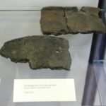
"Despite is unusually high position, this fort contains traces of a number of huts, and on investigation these have yielded plentiful pottery, as well as charcoal giving a surprisingly early radio carbon date.
The defence is a single dump rampart revetted by a stone wall in front (at least in places), and accompanied by a ditch and probably a counterscarp bank. It follows roughly the form of the hill enclosing 6.4 hectares, and there is an entrance at the north and south; the rampart is slightly in-turned.
The dwellings were of timber, probably round, on levelled platforms terraced into the hillside; the lower, built up half has been eroded away. The pottery is rough and almost all undecorated. Its character is consistent with the two radio carbon dates obtained, which indicate occupation in about the tenth to twelfth centuries BC, corresponding to the Late Bronze Age or even earlier." D. Coombs, Current Archaeology, No 27 (July 1971).
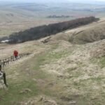
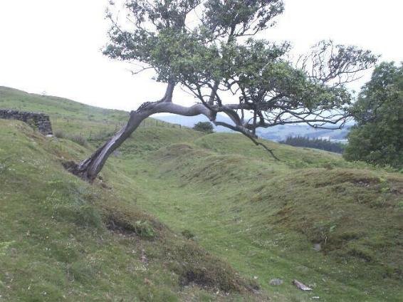
The western entrance to Mam Tor
The west rampart ditch
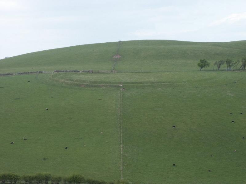
The Eastern Rampart
Mam Tor, seen from the east.
References
Excavation at the Hill Fort at Mam Tor, Derbyshire, 1965-69, Derbys. Archaeol. J. 99, 7-51. Coombc, D. G. and Thompson, F. H.


 Mam Tor (“Mother Hill”), Castleton, Derbyshire — archaeology, history & the Brigantian question
 Chronological outline
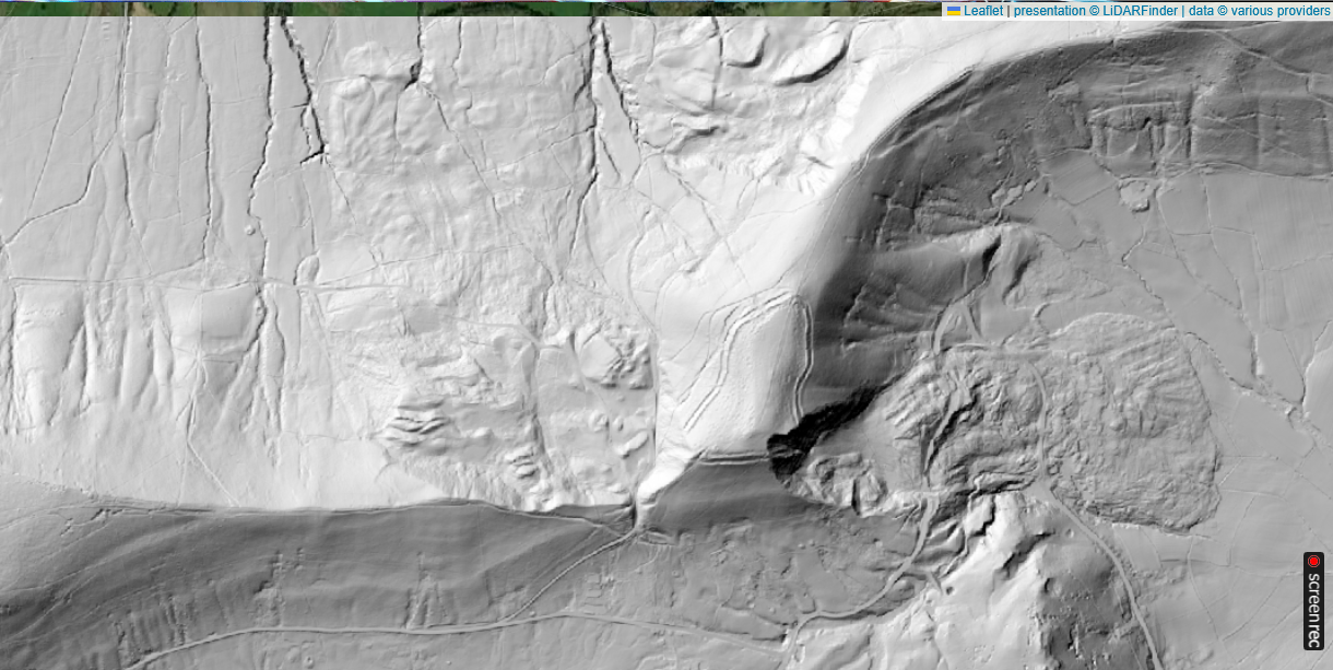 Why was the hillfort built?
 Significance
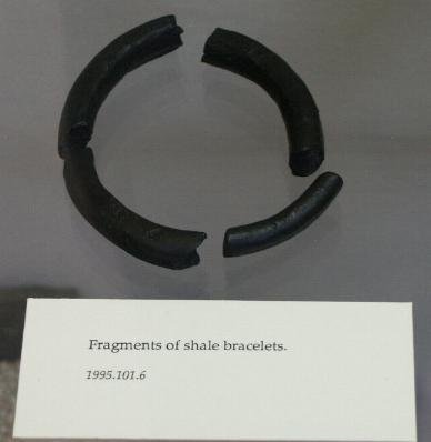

 The western entrance to Mam Tor