The Carperby Market Cross is a historic monument located in the village of Carperby, Wensleydale, England.
Site Details:
Carperby, nestled in the heart of Wensleydale, North Yorkshire, is a village steeped in history and archaeological significance. The name Carperby itself is thought to derive from Old Norse, suggesting a settlement dating back to the Norse-Gaelic period.
The village's historical narrative is punctuated by the high-stepped market cross dated 1674, which commemorates the granting of a market charter in 1305, indicating Carperby's long-standing commercial importance. Archaeological interest is further piqued by evidence of Quakerism in the 17th century, with the Carperby Quaker Meeting House, built in 1864, standing as a testament to this religious heritage. The village's past is also marked by tragedy, with local legend speaking of a devastating fire in 1810 that destroyed several thatched cottages. This event, while not documented, is etched into the collective memory of the community.
The Richmond to Lancaster Turnpike, established in 1751, played a crucial role in the village's connectivity, although subsequent road diversions have since altered its course.
The Earthworks at Carperby
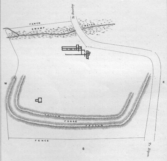
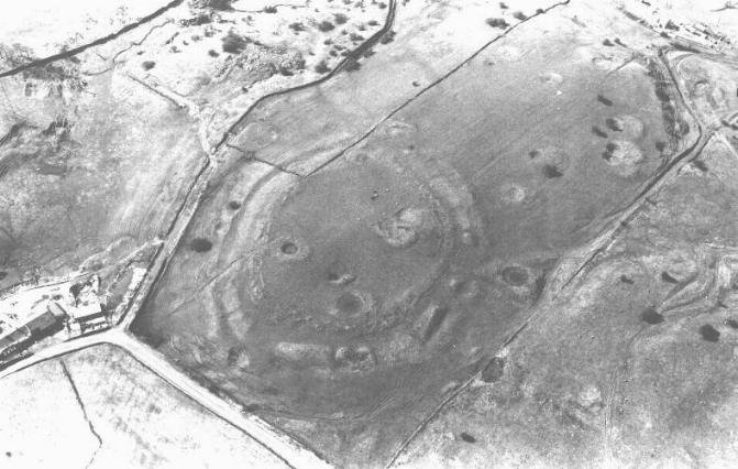
The Earthworks at Carperby in Wensleydale are a fascinating historical site, believed to be an enclosed cremation cemetery dating back to the Bronze Age. This site, originally thought to be a stone circle, is now understood to have served a significant role in the prehistoric community's rituals surrounding death and remembrance.
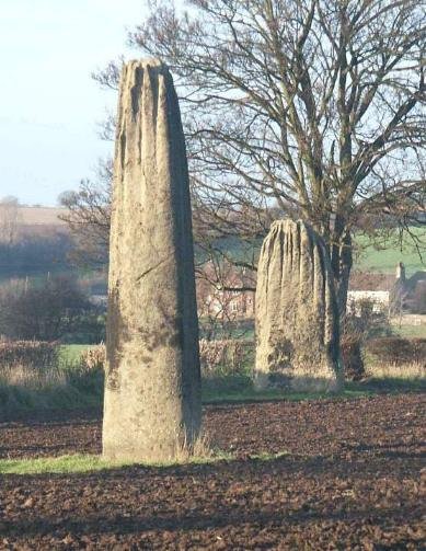
The earthworks consist of a series of subtle features composed of earth and stones, forming what may have been a boundary for a prehistoric cemetery. Within this boundary, there are several low-lying possible cairns, which further supports the theory of the site being a place of burial and ceremony. The central feature of the site is a weathered stone embankment forming an oval shape, with dimensions of 28 by 23.8 meters, and pillars of local gritstone up to 1.2 meters long.
At the centre of this embankment lies a low, disturbed mound approximately 6 meters in diameter, which appears to have been a cairn. The entire area is rich with history, showing signs of extensive lead mining operations that add to the complexity of the landscape. The Carperby Earthworks are not only a testament to the ancient practices of the inhabitants of Wensleydale but also a reminder of the enduring legacy of human interaction with the land.


 Carperby, nestled in the heart of Wensleydale, North Yorkshire, is a village steeped in history and archaeological significance. The name Carperby itself is thought to derive from Old Norse, suggesting a settlement dating back to the Norse-Gaelic period.
 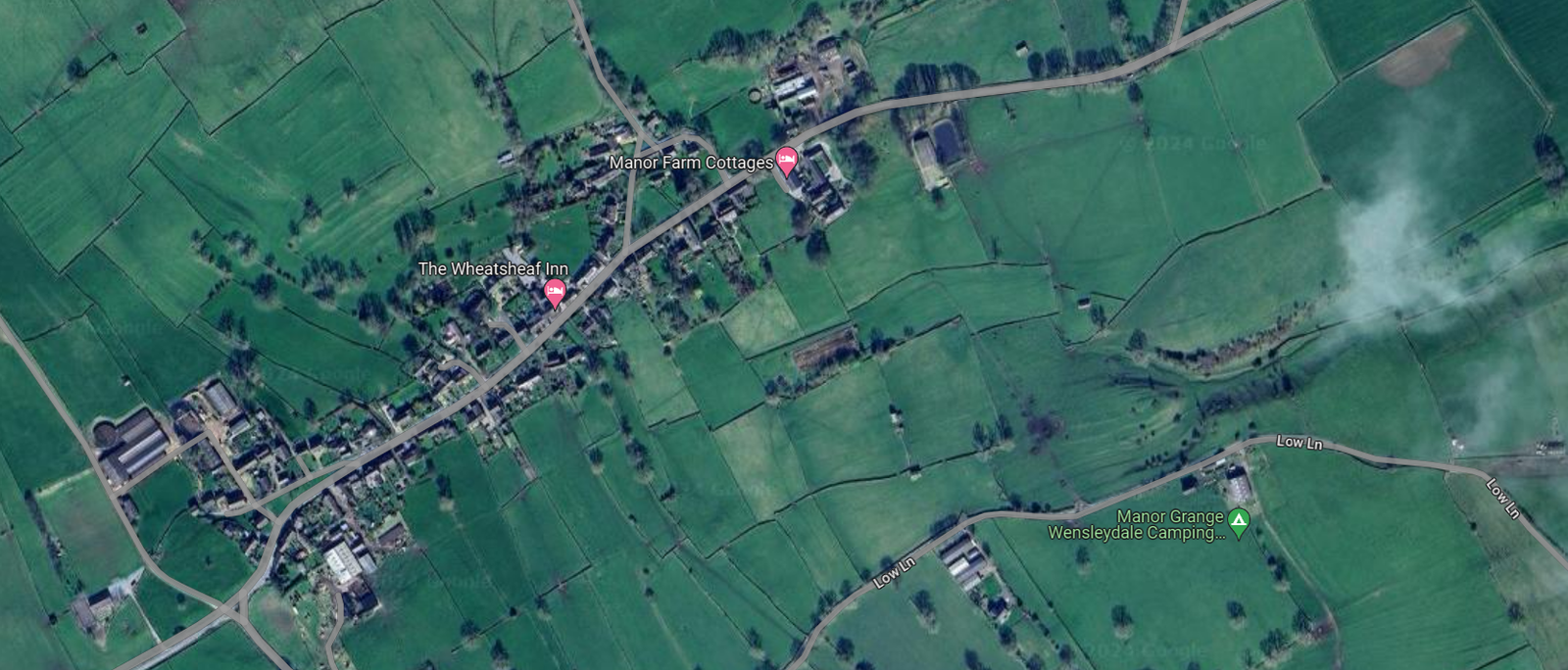 The village's historical narrative is punctuated by the high-stepped market cross dated 1674, which commemorates the granting of a market charter in 1305, indicating Carperby's long-standing commercial importance. Archaeological interest is further piqued by evidence of Quakerism in the 17th century, with the Carperby Quaker Meeting House, built in 1864, standing as a testament to this religious heritage. The village's past is also marked by tragedy, with local legend speaking of a devastating fire in 1810 that destroyed several thatched cottages. This event, while not documented, is etched into the collective memory of the community.


 The earthworks consist of a series of subtle features composed of earth and stones, forming what may have been a boundary for a prehistoric cemetery. Within this boundary, there are several low-lying possible cairns, which further supports the theory of the site being a place of burial and ceremony. The central feature of the site is a weathered stone embankment forming an oval shape, with dimensions of 28 by 23.8 meters, and pillars of local gritstone up to 1.2 meters long.


