Notice: Function WP_Scripts::add was called incorrectly. The script with the handle "datatables-responsive" was enqueued with dependencies that are not registered: datatables. Please see Debugging in WordPress for more information. (This message was added in version 6.9.1.) in /home/u621095157/domains/brigantesnation.com/public_html/wp-includes/functions.php on line 6131
East Yorkshire’s Middle-Iron-Age story stands out in Britain because the communities who farmed the chalk of the Yorkshire Wolds developed Read more
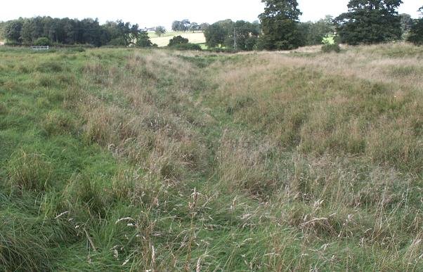
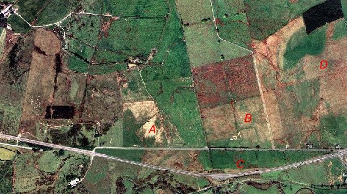
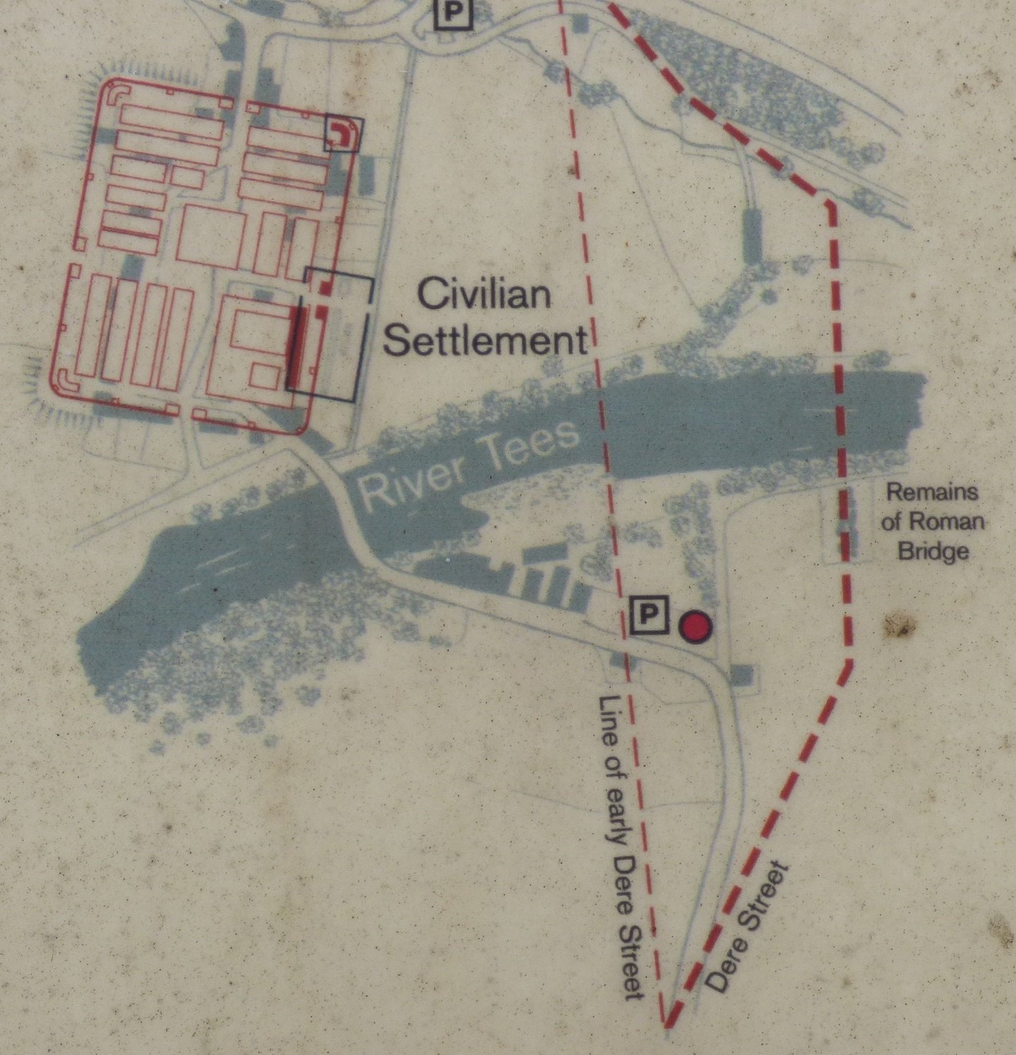
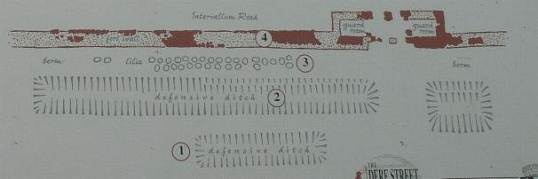
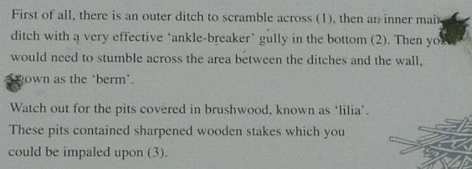
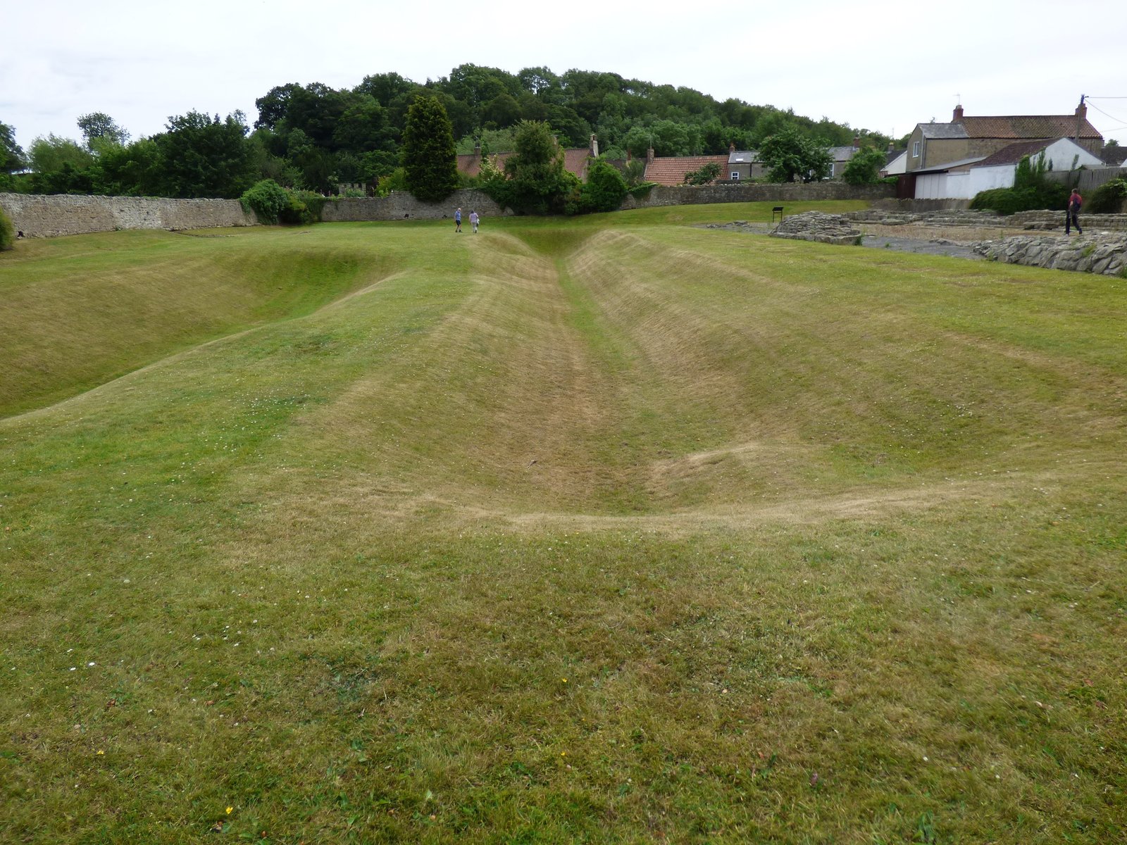
The fort at Piercebridge guarded access to the Main north-south crossing of the River Tees in Roman times, a sizeable vicus grew up on it's eastern side towards the earliest crossing point.
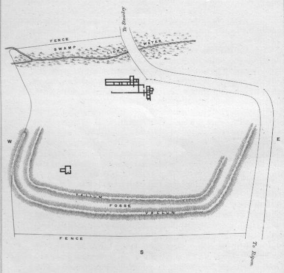
Plan of the fort at Piercebridge
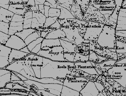
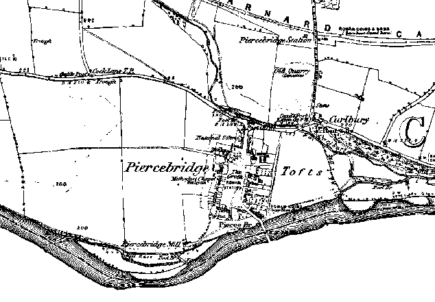
The 1850's OS map of Piercebridge, which was built on top of the Roman fort. To the east the area known as the "Tofts" was the location of the vicus.
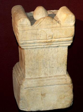
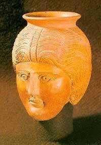
The Roman face jug found during excavations at the fort.