Notice: Function WP_Scripts::add was called incorrectly. The script with the handle "datatables-responsive" was enqueued with dependencies that are not registered: datatables. Please see Debugging in WordPress for more information. (This message was added in version 6.9.1.) in /home/u621095157/domains/brigantesnation.com/public_html/wp-includes/functions.php on line 6131
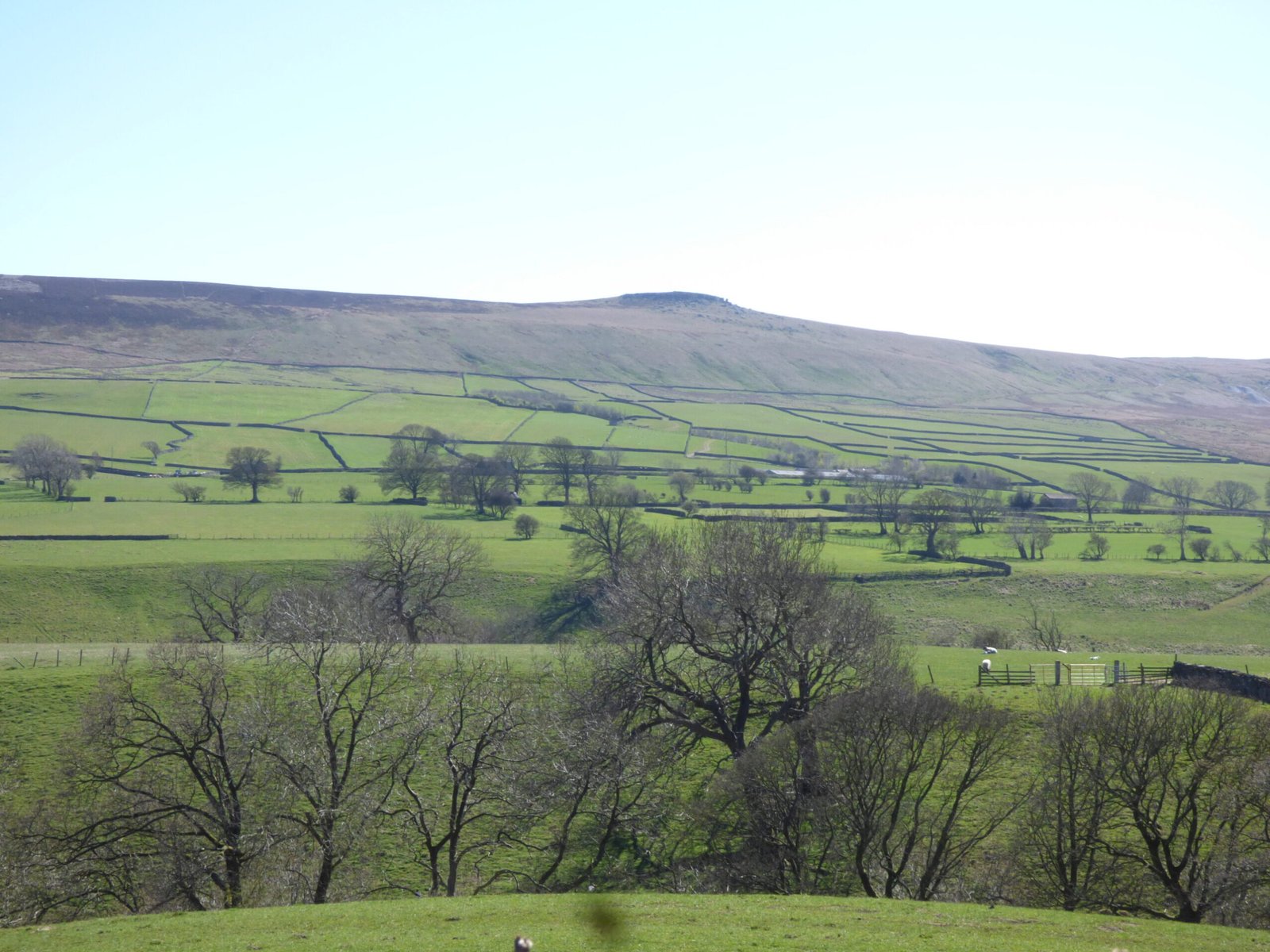
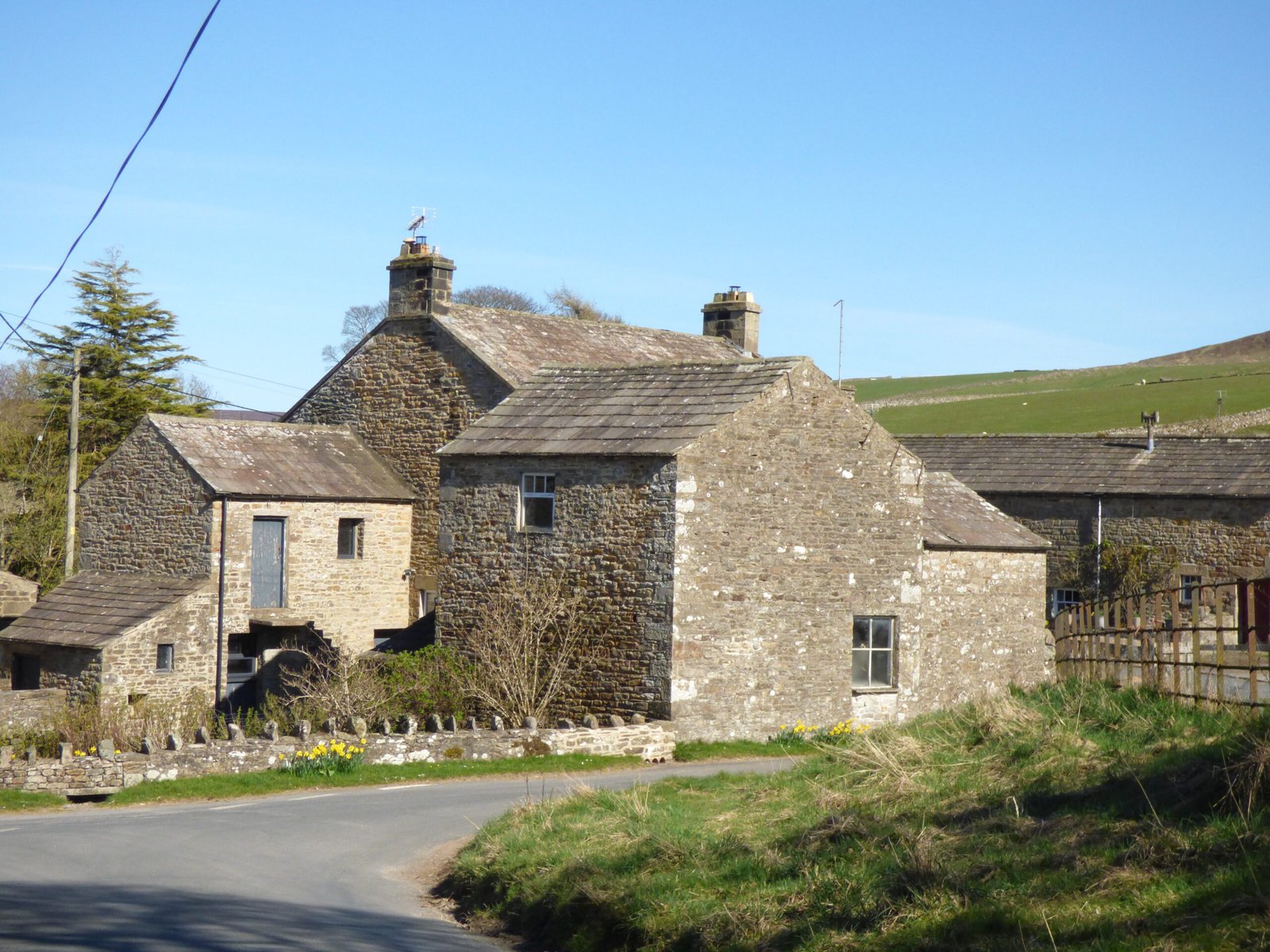
West Scrafton is a village located in Coverdale in the Yorkshire Dales. It sits on the southern upward slops of Read more
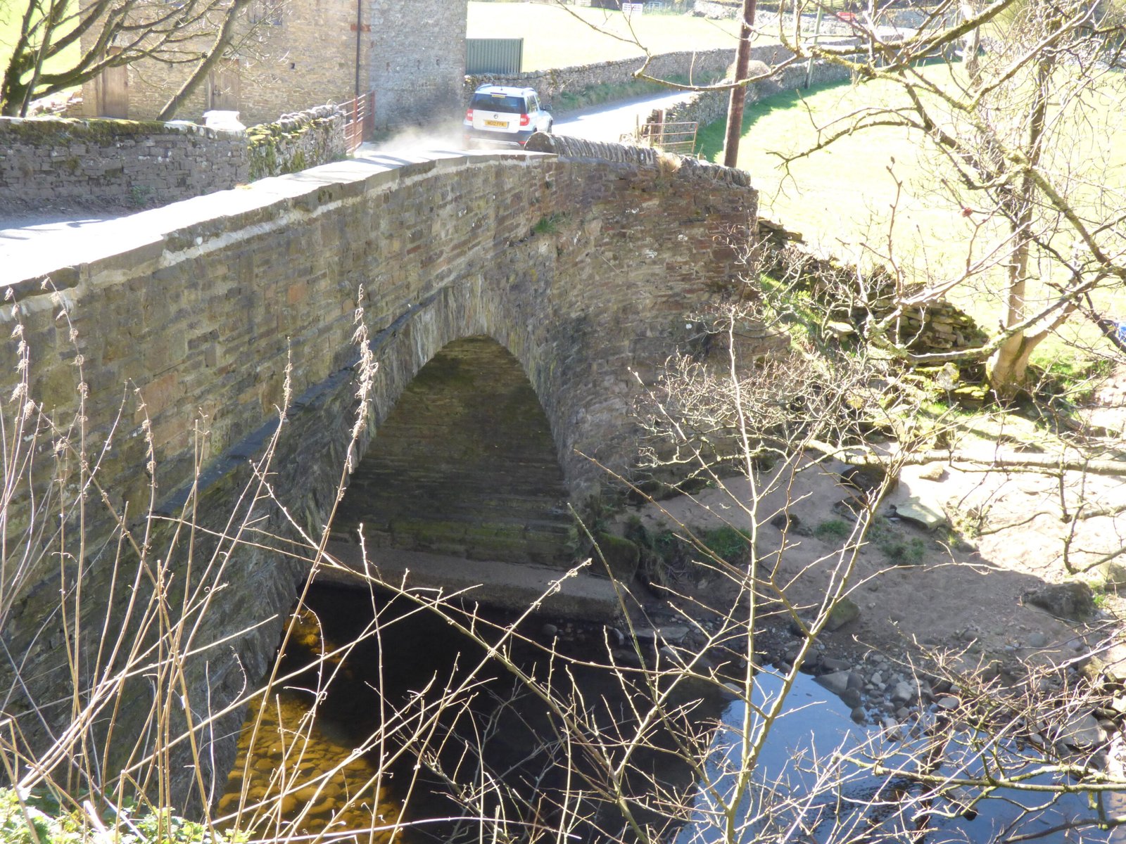
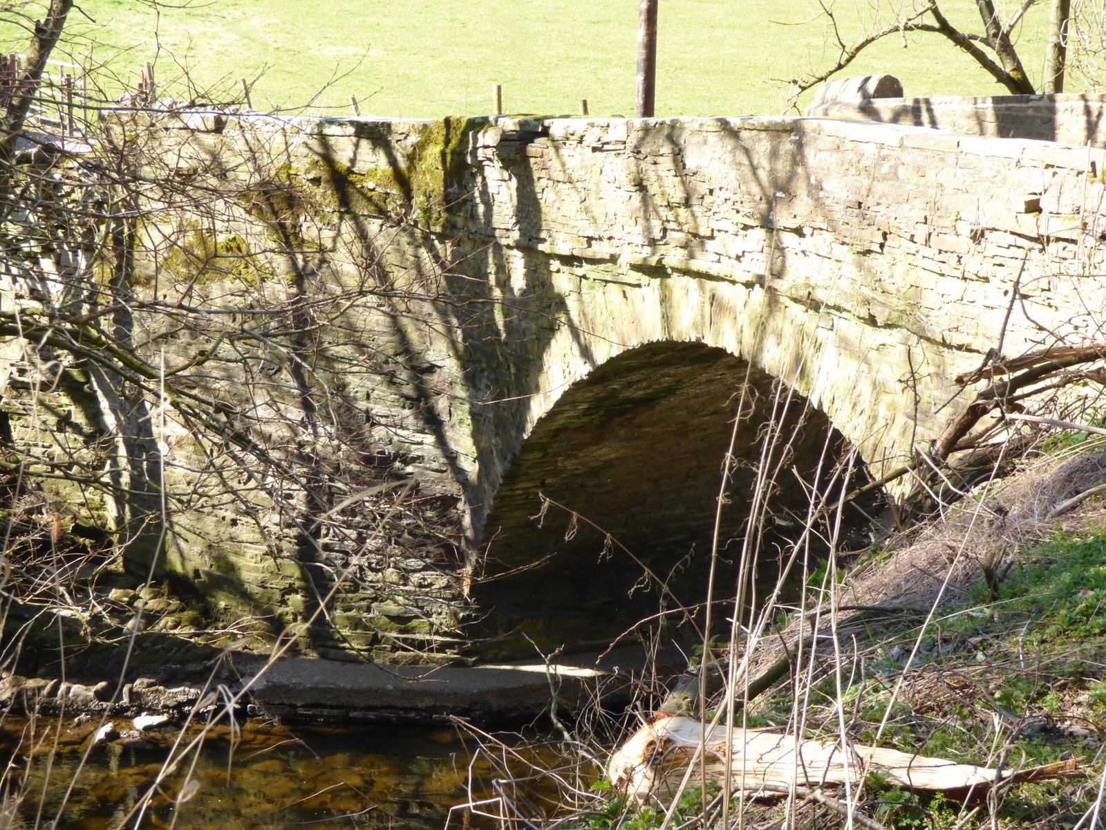
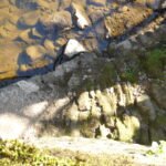
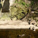
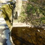
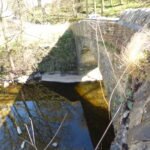
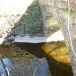
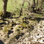
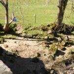
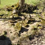
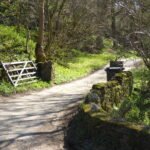
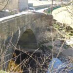
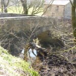
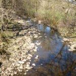
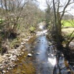
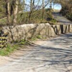
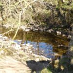
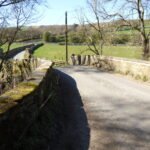
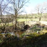
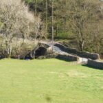
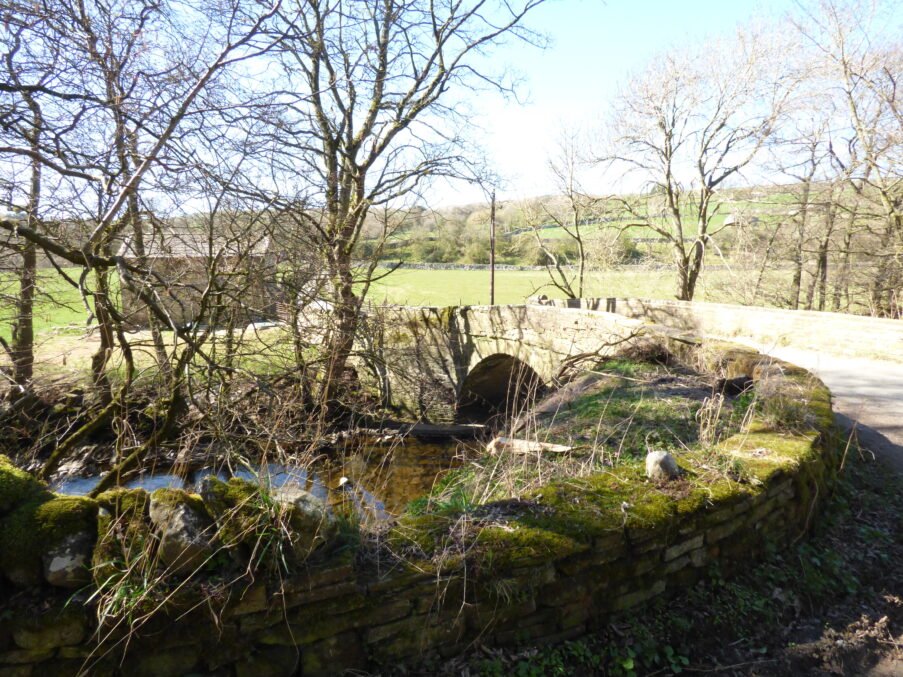
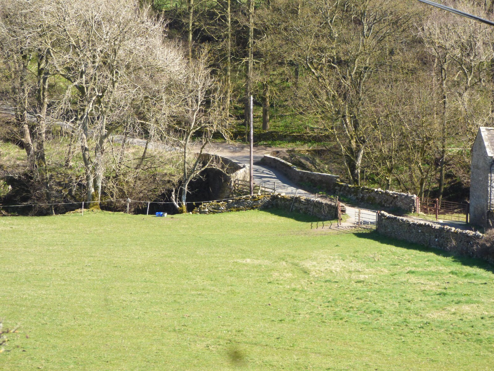
Nathwaite Bridge, River Cover, Coverdale
Nathwaite bridge over the River Cover is a strategically placed river crossing, for centuries it has been the only crossing point over the river Cover, and with a fortified barn right next door to it, this is an enigmatic site worthy of closer attention.
What we can say with the sources in hand
Attribute
Evidence & interpretation
Key sources
Location & grid ref.
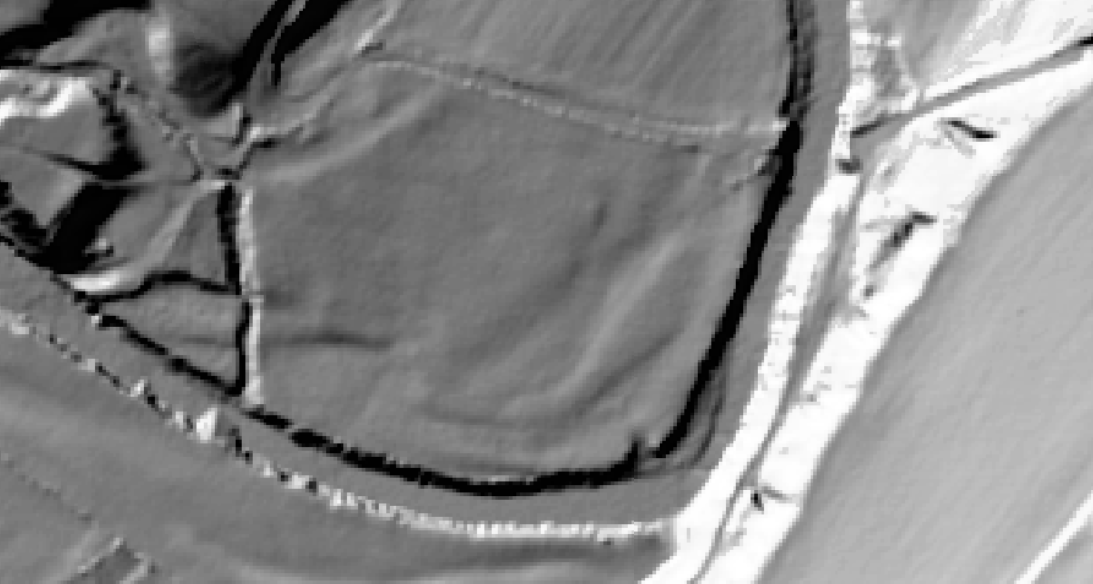
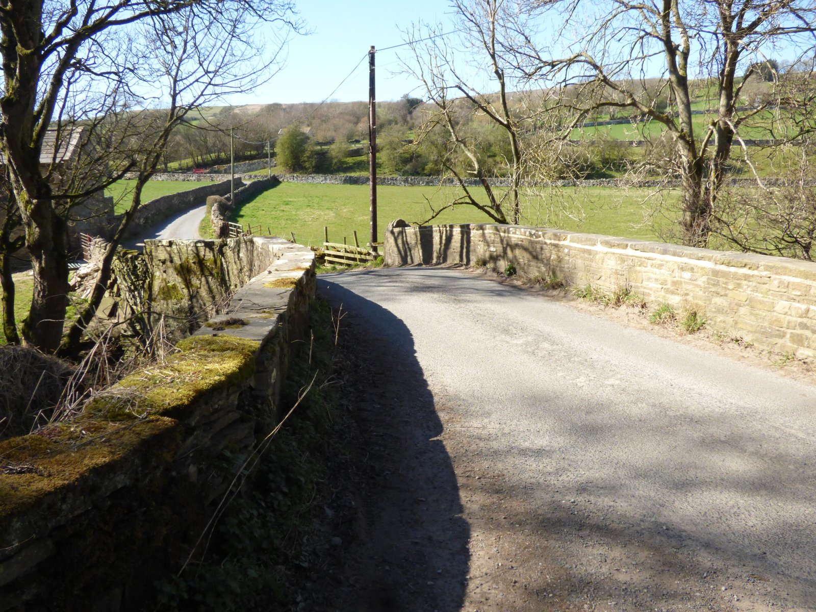
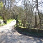
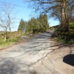
Carries the minor moor-edge road between West Scrafton and Carlton; OS National Grid SE 0662 8373.
Single-span stone segmental arch (about 7 m clear span). The voussoirs and spandrels are the same Millstone-Grit used in local field barns, suggesting on-site quarrying; parapets have simple through-stones, no cut-waters.
No listing dossier exists and the bridge is absent from the 1771 Jeffery's county map, but it does appear on the 1805 North Riding “Survey of Roads” as the only vehicular crossing between Cover Bridge and Arkleside. Most road bridges in the dale were rebuilt 1790-1810 when Turnpike trustees upgraded lime-cart routes. A build date c. 1795 ± 15 yrs is therefore plausible.
North Riding Quarter Sessions road survey, 1805 (NYCRO Q/RUM 3/4)
Function in the dale economy
Linked the lime-kilns and coal yards of Coverhead & West Scrafton with Carlton, Horsehouse fair-ground and the drovers’ road over Park Rash to Wharfedale. Estate day-books (1786-1812) record “six score loads cole over Nattwayt brig to Cover Head kiln” once a fortnight in winter—confirming it as the main cart route for hill-coal and lime.
Bolton Estate lime accounts, ZBO IX/3 (NYCRO)
Traffic & maintenance
The 1834 Carlton township highway ledger lists £1 14 s. “stone & lime for Nathwaite Bridge parapet” after a flood, indicating township responsibility, not turnpike management. Weight limits were modest—no evidence of widening, so traffic was limited to single horse-carts or pack strings.
Carlton Highway Account Book, PR/CAR/2
Current status
Still carries light vehicles; not on the Historic England list, but listed in Dales National Park “non-designated heritage assets” inventory.
YDNPA Heritage Map (2024 draft)
Name origin
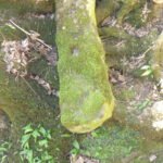
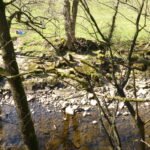
Early spellings Nathwayt (1805) and Natthwaite (1841 tithe) point to ON nautr-þveit “wet clearing” – fitting the marshy river flat south of the span.
Carlton In Coverdale tithe apportionment, 1845 (TNA IR 29/43/65), place-name study by Smith (Place-Names of the North Riding)
Reliability & gaps
No builders’ contract has yet surfaced, so the c. 1795 date rests on mapping bracketing.
Flood-repair entries imply earlier, unrecorded small bridges—future LiDAR of the flood-plain may reveal earlier abutments now silted over.
Traffic figures are inferred from lime-kiln coal tallies; a newly located turnpike toll book could refine load counts.
Why it matters to our Coverdale landscape study
Nathwaite Bridge is the hinge-point linking coal pits on the north bank (EngineShaft, Henstone Level) with the lime and lead economy south and east of the river.
Its modest fabric underscores the low-capital, small-cart nature of Coverdale mining—no iron trusses or widening campaigns that characterise industrial coal districts.
Any future archaeological work (e.g., coring the flood terrace for timber footings) could push the bridge story back into the seventeenth century, altering traffic-volume models for the dale.
In short, the bridge we see today is a late-Georgian, single-arch Gritstone span that quietly underpinned Coverdale’s coal-and-lime micro-economy, and it survives largely unchanged—a rare material witness to small-scale upland industry.


 Nathwaite Bridge, River Cover, Coverdale