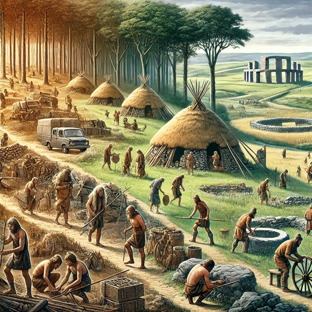
Understanding the archaeological periods across Western Europe is essential for exploring the evolution of human societies from prehistory to the Read more
Galicia’s Celtic origins have long played a significant role in shaping the region’s cultural and political identity. Historically, Galicia was Read more
Hillforts, or castros, are some of the most iconic archaeological features of Galicia and provide valuable insights into the region's Read more
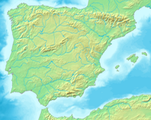
Bedrock Framework – Iberia in Five Tectonic Provinces
This report intends to provide an understanding of the major geological landscape of the Iberian Peninsular.
We can understand Iberia as having five tectonic provinces – zones of underlying tectonic activity, caused by two plates, or distinct bodies of earth mass, are moving towards, or away from each other.
The Geology of the Iberian Peninsular
This, combined with the geology of the earth at that point: the rock, etc, that forms the basic structural profile for the peninsular overall.
Province
Spatial extent & key units
Tectonic story
Characteristic rocks & resources
Landscape flavour
Iberian Massif (Variscan Basement)
Covers NW–W two-thirds of Iberia (Galicia, Extremadura, N Portugal, Sierra de Guadarrama).
Crystallised 340–300 Ma when Gondwanan terranes collided with Laurussia (Variscan orogeny); later uplifted as a rigid block.
Rugged cuesta landscape; deep “canyons” of Sil and Douro; granite Tors and boulder fields.
Cantabrian–Basque Arc
Narrow arc along N coast from Asturias to western Pyrenees.
Variscan basement refolded during Alpine compression, creating tight arc; coal-bearing synclines (Carboniferous) and Jurassic–Cretaceous flysch basins.
Bituminous coal (Mieres, Langreo), iron ore (Biscay), Jurassic limestones.
Sea-cliff flysch, karst plateaux, lush green foreland set against abrupt coastal ranges.
Central Iberian Ranges & Meseta Basins
Iberian Range (Sierra de Albarracín to Moncayo) plus Duero–Tagus Neogene basins.
Differential uplift on Permo-Triassic extensional faults later reactivated by Alpine compression; graben infilled by fluvial-lacustrine red-beds and evaporites.
Gypsum, halite, Triassic sandstones; uranium (Salamanca) in continental red-beds.
Tabular badlands, salt-river valleys, wide cereal plains of the Meseta.
Pyrenees & Catalan Coastal Ranges
Axial zone from Bay of Biscay to Cap de Creus; parallel coastal ranges south of Barcelona.
65–5 Ma Africa-Iberia–Europe collision produced crustal-scale thrust sheets; Ebro foreland subsided then filled.
Though oceanic and outside the peninsular heel, Canarian hotspot volcanism (20 Ma–present) supplies Sahara-dust-fertile soils that blow onto the Iberian southwest.
Geological units of the Iberian Peninsula ENPePeEfe translated by Graeme Bartlett and Joutbis CC BY-SA 3.0 via Wikimedia Commons
How this bedrock palette set the stage for glacial sculpting
Variscan Massif – hard granite/gneiss resisted deep glacial scouring; cirque glaciers confined to high quartzite ridges, leaving preserved palaeosurfaces.
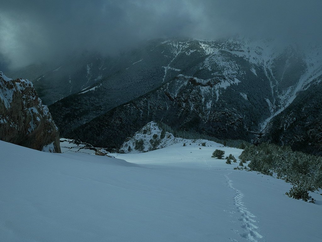
Pyrenees & Cantabrians – alpine relief + soft flysch produced powerful valley glaciers (120 km tongues); the contrast with basement highs explains today’s sharp U-valleys versus granite tors.
Central Basins – soft red-beds experienced PeriglacialLoess accretion rather than true ice; modern badlands trace frost-shattered mudstone.
Betics – southernmost European ice cap formed on the high Sierra Nevada marble nappe; Mediterranean moisture but limited planation because ice volumes were modest and slopes were steep.
Iberian Peninsula geological map ENPePeEfe CC BY-SA 40 via Wikimedia Commons
A complete silver Scottish twelve shillings coin of James VI of Scotland and I of England, eighth coinage post-dating accession to English throne, dating to 1603-1625, Lys initial mark. Reverse has a shield with arms of [...]
A silver Post-Medieval shilling of Elizabeth I, third issue with ‘A’ initial mark dating to 1583-1585. Mint of London. As North Vol 2, p.136, no.2014. [...]
A lead alloy pipe tamper dating to the 17th century. The plate has moulded decoration to both sides depicting Charles I (facing right) and Henrietta Maria of France (facing left). Both images are contained in [...]
A damaged lead-alloy Medieval pilgrim's ampulla, 50mm in length and 35mm wide, with a round bodied flask with a flaring open top which is partially complete. One side of the flask body has traces of moulded [...]
An incomplete Medieval cast copper alloy buckle plate, dating to c. AD 1100-1400. The plate is missing its buckle and part of its sprues. The buckle plate is sub-rectangular in plan. Projecting from one long edge [...]
A Roman copper-alloy nummus of the House of Valentinian , dating to AD 364-7 (Reece Period 19), GLORIA RO-MANORVM reverse type depicting the emperor with right hand dragging captive right and holding a labarum in left hand. Mint of [...]
A Post-Medieval copper alloy farthing of Charles I (AD 1625-1649), dating to AD 1636-1644. Rose type 2, with sceptres in saltire through single crown. Mint of London. Unclear initial mark. North (1991: 165) no. 2291. [...]
A clipped and heavily worn Roman copper alloy nummus of Gratian (AD 367-383) dating to the period AD 367-378 (Reece period 19). SECURITAS REI PUBLICAE reverse type depicting Victory advancing left, holding a wreath and palm. Unknown mint. [...]
A silver Roman siliqua of Honorius (AD 393-423) dating to the period AD 397-402 (Reece Period 21) minted in Milan VIRTVS ROMANORVM reverse type depicting Roma seated left on cuirass, holding Victory on globe and spear. Hoxne, p. 145, no. [...]
An incomplete Roman composite plate brooch probably dating to AD 100-200. The brooch is missing it's pin and part of the top and bottom circles. The brooch is flat in cross section and probably originally consisted of [...]
Fragment from a probable buckle frame dating to the Post Medieval period (c.AD 1720-1790). The fragment is broadly rectangular in plan and includes a short section of the corner of the buckle frame. The fragment includes the [...]
Fragment from a buckle frame dating to the Post Medieval period (c.AD 1720-1790). The fragment is broadly C shaped in plan and D shaped in profile. It consists of two corners and one side of a sub-rectangular [...]
A complete copper alloy bovine (bull's head) vessel / bucket mount, dating to the Roman period (c. AD 50-200).The cast copper alloy mount is a sub-inverted triangle with a pointed lower tip and slightly waisted sides to form the nose.The [...]
An incomplete copper-alloy early Medieval stirrup strap mount of uncertain or unclassified type, dating to c.AD 1050-1150. The central part of the object survives with parts of the open work broken off on all sides except [...]
A near complete Medieval-Post Medieval cast copper alloy buckle with integrated plate dating to the period c.AD 1250-1500. The buckle is missing its pin.It has a rectangular frame, which has a sub rectangular cross-section. The integral plate has [...]
A very worn copper-alloy Roman radiate or nummus of unclear ruler dating to AD 260-402. Unclear reverse type, unclear mint.The coin is chipped around its circumference. [...]
A very worn Roman copper alloy radiate of uncertain emperor dating to the period AD 260-275 (Reece period 13). Unclear reverse type depicting. Unclear mint. [...]
An incomplete Medieval cast copper-alloy rectangular buckle with integral looped plate, dating to c. AD 1200-1400. The buckle is missing its pin. The buckle comprises a rectangular loop and an integral plate. The plate is made [...]