
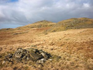
On every late-Victorian and early-20th-century OS sheet the surveyors marked any conspicuous heap of stones they could not instantly classify as a tumulus, beacon, trig-point or boundary stone with the catch-all term “Pile of Stones.”
Jun 15
On every late-Victorian and early-20th-century OS sheet the surveyors marked any conspicuous heap of stones they could not instantly classify as a tumulus, beacon, trig-point or boundary stone with the catch-all term “Pile of Stones.”
Jun 01

Imagine being able to see the landscape around you in a completely new way—an invisible layer revealing the hidden structures of the past, right beneath the surface.
Sep 24
This page holds a collection of research documents covering the Roman Celtic World, Mainly, it holds maps, and is looking forward to further development in future.
 NLS Map Explorer
 Google Earth
 Google Maps
 Lidar Finder
 TMA
TMA
 Megalithic Portal
 Yorkshire Arch. Air Mapping
 ADS
ADS
 Brigantian Adventure FB Group
Stone Bothering FB Group
Stone Faces FB Group
Brigantian Adventure FB Group
Stone Bothering FB Group
Stone Faces FB Group
 Heritage Gateway
 ARCHI® MAPS: UK
 Atlas of Hillforts
 Portable Antiquities
 British History Online
Brigantes Nation FB Group
British History Online
Brigantes Nation FB Group

