Notice: Function WP_Scripts::add was called incorrectly. The script with the handle "datatables-responsive" was enqueued with dependencies that are not registered: datatables. Please see Debugging in WordPress for more information. (This message was added in version 6.9.1.) in /home/u621095157/domains/brigantesnation.com/public_html/wp-includes/functions.php on line 6131
Mamucium occupies a low sandstone promontory at the junction of the Rivers Medlock and Irwell. The bedrock is the Triassic Sherwood Sandstone Group, a firm, well‑drained red sandstone that gave Roman engineers a stable platform for Earthworks and Timber palisades, while nearby river gravels supplied road‑making aggregate. Glacial Drift filled the surrounding lowlands, creating gentle slopes up to the fort and easy access to fresh water. (BGS Application Server, Wikipedia)
AD 79: Agricola’s northern campaign establishes Mamucium as a timber-and‑turf fort guarding the river crossing and the junction of two arterial roads:
west–east Deva Victrix (Chester) → Eboracum (York)
south‑west–north Condate (Northwich) → Bremetennacum (Ribchester), the line later echoed by Deansgate. (Wikipedia)
Phasing
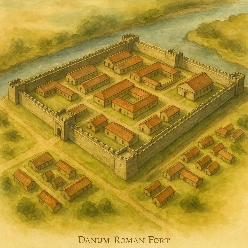
Phase I (AD 79‑90): 120 m × 100 m turf‑rampart fort for c. 500 auxiliary infantry.
Phase II (c. 160): Complete rebuild in turf & timber following Antonine frontier readjustments.
Phase III (c. 200): Stone‑faced walls, a masonry north gate and intervallum roads; civilian vicus expands to 24 ha with smithies, furnaces and temples (altars to Fortuna and Mithras; a Christian word‑square).
Decorated Samian ware. Credit: Richard Carter
The Vicus & Economic Life
A bustling vicus wrapped three sides of the fort. Excavation has revealed:
Workshops for copper‑alloy casting and iron smithing,
Imported samian ware & glass tableware alongside coarse local pottery.
Evidence of textile working (loom‑weights) and leather‑craft.
Mamucium functioned as a cross‑Pennine logistical node, feeding the Hadrianic and later Cumbrian frontiers.
Coin loss peaks in the Severan period mirror traffic along its roads.
Late & Post‑Roman Trajectory
Occupation probably dwindled after c. AD 275, though coins of Constantius I imply a residual garrison into the early 4th c. The fort then slipped from written record until medieval field names ( Castrum , Castle-field ) preserved its memory.
Mediaeval to Industrial Impacts
Medieval ploughing levelled much of the rampart. The real damage arrived with the Industrial Revolution:
1790s Rochdale Canal sliced the south‑west corner;
1830s‑70s railway viaducts overran the south & east walls;
clearance for warehouses stripped overburden, paradoxically leaving some Roman surfaces only 40 cm beneath today’s streets. (Confidentials)
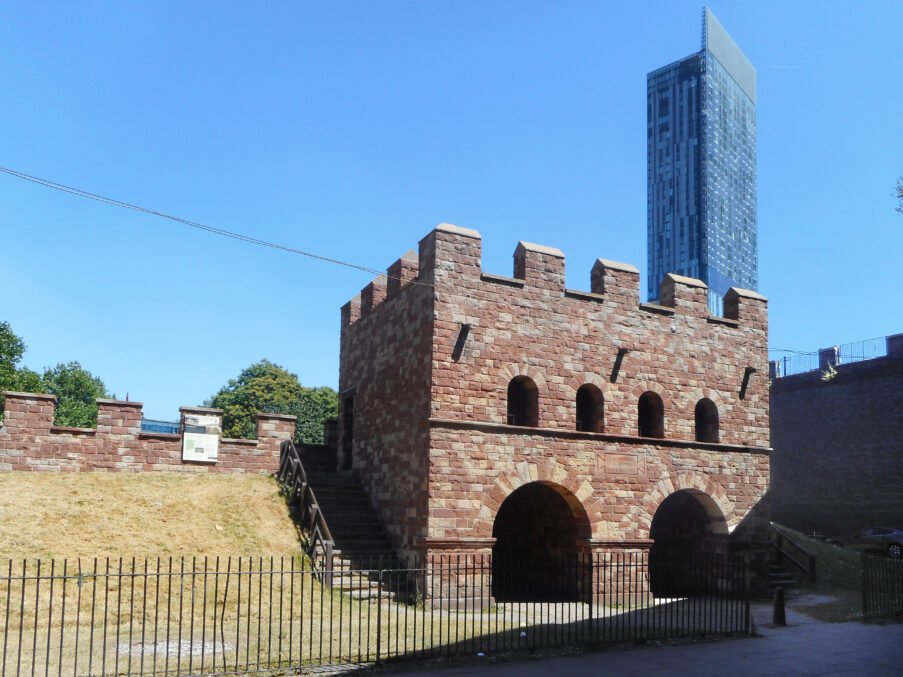
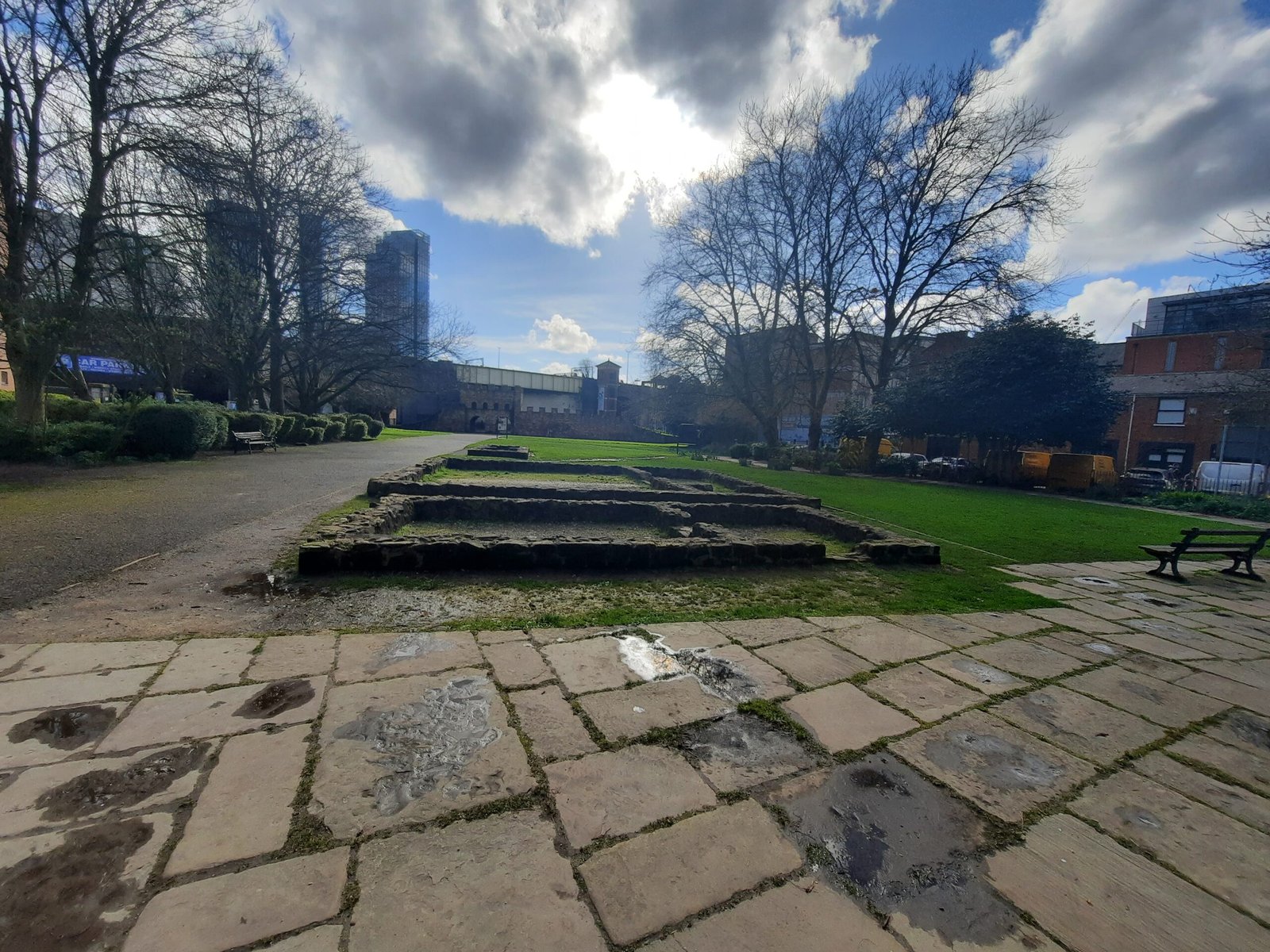
What Survives & What You Can See
Scheduled Monument (NHLE 1001953):
Stone foundations of the north‑west and north‑east ramparts and internal granaries.
A 1980s reconstructed north gatehouse and short curtain‑wall in pink Castlefield sandstone (images above).
Beyond the fort: truncated roadside building pads of the vicus lie beneath lawns and car‑parks; interpretation panels plot the road to Ribchester under Deansgate.
Archaeology & Research Milestones
Year
Intervention
Key Results
1906–67
Pioneer trenches by Bruton & Roeder
Located western & northern defences.
1970s
Rescue digs prior to warehouse clearance
Uncovered vicus furnaces & Christian word‑square.
1982‑88
GMAU large‑scale excavation
Phasing refined; north gate & granaries recorded then reconstructed.
2024
Castlefield road‑surface exposure
1st‑3rd‑c. metalled road found 0.4 m below Liverpool Rd. (see earlier report).
Visiting Today
The fort forms the centrepiece of Castlefield Urban Heritage Park (free, open access):
Gatehouse walkway & rampart battlements give elevated views.
Low walls and mowing regime expose the internal street grid.
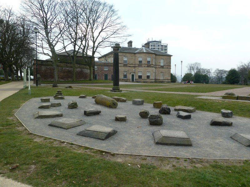
Adjacent Science & Industry Museum displays small finds (altars, pottery, military fittings) and contextual panels.
Way‑marked trail follows the Roman road under Deansgate to the River Medlock footbridge.
Mamucium encapsulates Manchester’s story: a sandstone spur chosen for tactical command of river and road, overwritten by canals, railways and warehouses, yet still readable in its reconstructed gate and grass‑covered foundations—the city’s oldest physical layer awaiting further questions from modern archaeology.