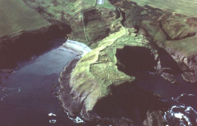
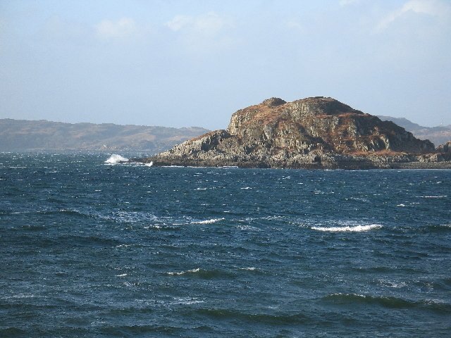
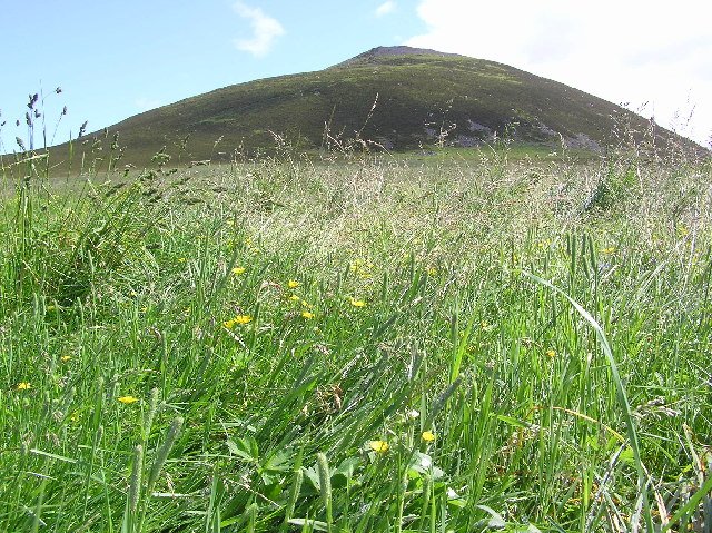
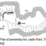
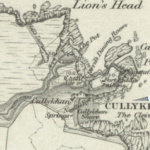
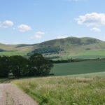
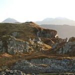
Pennan - Castle Point © Colin Smith cc-by-sa/2.0: Geograph Britain
Castle Point Fort
Castle Point is more than a picturesque headland: it is an amazing display of Iron-Age engineering, Pictish re-fortification, medieval lordship and early-modern coastal defence can all be read in successive layers of stone, timber and vitrified glass. Despite a decade of mid-20th-century digging, key chronological pins and behavioural questions remain open—making the site a prime candidate for 21st-century, minimally invasive science.
Quick orientation
Perched on a sandstone headland just west of Pennan harbour (OS grid NJ 837 661), Castle Point commands a small anchorage and the sea-lane that skirts the Moray Firth. A 4 m-wide isthmus links the point to high ground inland; everywhere else sheer cliffs fall to Cullykhan Bay, giving a naturally defensible promontory of c. 1 ha. (Canmore)
Stratigraphy of occupation
| Phase | Date‐range | Main works & features | Notes |
|---|---|---|---|
| Palisaded promontory | late Bronze/early Iron Age (c. 1000–800 BC) | Timber palisade barricading the neck; ring-ditch house & yard surfaces behind. | Earliest human use detected so far. (online.aberdeenshire.gov.uk) |
| Timber-laced rampart I | 8th–5th c. BC (posthole RC dates 750–200 BC) | Massive stone-and-timber wall with inset gateway; later dismantled. | Dendrochronology & charcoal radiocarbon underpin dating. (online.aberdeenshire.gov.uk) |
| Rampart II – vitrified | c. 4th–2nd c. BC | Second wall set 8–10 m seaward; intense firing, fused sandstone blocks. | Metallurgical hearths and crucible sherds in the interior suggest on-site metal-working. (Britain Express, online.aberdeenshire.gov.uk) |
| Ditches & possible Pictish hall | mid-1st millennium AD | Twin flat-bottomed ditches recut across the neck; sub-rectangular timber hall beside SE rampart. | Interpreted as Early-Historic (Pictish) refurbishment. (Historic Environment Scotland) |
| Norman / Medieval tower | late 12th – 17th c. | Rectangular keep (12 × 8.8 m; walls 1.8 m thick) with cobbled court and kitchen wing – traditionally “Castle of Troup”. | Excavated footings; mason’s marks on fallen arch stones. (Archaeology Data Service) |
| Fort Fiddes artillery battery | late 17th – 19th c. | Earthwork gun-platform and bank commanding Cullykhan Bay; 2 cannon recorded. | Coastal defence during Jacobite and Napoleonic scares. (Historic Environment Scotland) |
| WWII coast-watch post | 1940s | Concrete observation hut on outer head. | Part of east-coast early-warning chain. (Historic Environment Scotland) |
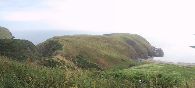
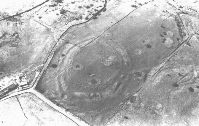
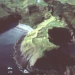
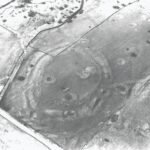
"Earthworks on the Peninsula above Cullykhan Bay - geograph.org.uk - 924394" by Sarah Charlesworth is licensed under CC BY-SA 2.0
Highlight discoveries
Vitrified wall-core – Glassy slag bands up to 0.5 m thick prove in-situ firing above 1100 °C, matching the Scottish vitrified-fort tradition. (Canmore)
Radiocarbon & dendro dates – Charred gate-posts and wall-timbers give calibrated ages spanning 750-200 BC, fixing the conflagration firmly in the Middle Iron Age. (online.aberdeenshire.gov.uk)
Craft activity – Furnaces, crucible fragments and mould spatter point to bronze‐ and iron-working inside the fort prior to its destruction. (Britain Express)
Artefact spread – Neolithic flints, jet bracelet pieces, Roman coarse-ware sherds, high-medieval pottery and post-medieval clay-pipes together chart four millennia of intermittent use. (Canmore)
Chronicle of research
| Year(s) | Investigators & method | Key outcomes |
|---|---|---|
| 1777 | Rev. Williams sketches “vitrified ruins” | First published notice of prehistoric defences. (Canmore) |
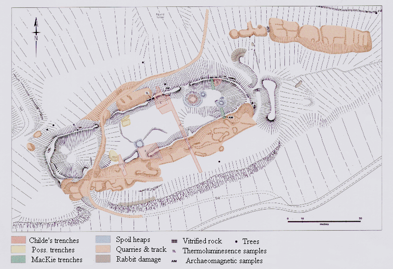
| 1963-72 | Aberdeen College of Education Archaeological Society (J C Greig & R H Cairns) – season-long excavations | Defined five prehistoric phases, uncovered medieval tower, logged vitrification; left sample trenches open for demonstration. (Canmore) |
| 1971 & 1974 papers | Greig publishes interim & final Iron-Age reports | Sets Castle Point alongside Burghead & Barry Hill in N-east coastal fort sequence. (scarf.scot) |
| 2012 | M. Greig’s re-analysis of the castle (PSAS 142) | Detailed building plan, mason’s marks, siege-fire evidence; refined medieval timeline. (Archaeology Data Service) |
| 2000s-present | Scheduled-monument surveys (HES) & UAV Photogrammetry | Quantified erosion, mapped battery earthworks, created 3-D terrain mesh for public outreach. (Historic Environment Scotland) |
Why Castle Point matters
- Complete coastal sequence – From palisaded promontory through vitrified rampart to gun battery, the site mirrors 2,500 years of changing military technology in one place. (Historic Environment Scotland)
- Key vitrification data-set – Rare sandstone-based vitrified wall offers comparative material for temperature modelling otherwise dominated by gneiss and basalt forts. (Canmore)
- Gateway Preservation – The timber-laced entrance is one of the best preserved Iron-Age gateways in north-east Scotland, enhancing experimental reconstructions of fort access systems. (online.aberdeenshire.gov.uk)
- Community visibility – Short access path from Cullykhan car-park and adjacent beach make the fort ideal for citizen-science geophysics or guided landscape walks. (walkhighlands)
Outstanding questions & research potential
| Theme | Why it matters | Next logical step |
|---|---|---|
| Function of vitrification | Deliberate show of power, accidental battle damage or ritual closure? | Micro-CT of slag vesicles vs. controlled experimental firing. |
| Pictish phase dating | Ditches & hall could tighten chronology of coastal lordships. | Targeted OSL & archaeomagnetic sampling in ditch fills. |
| Medieval tower occupation | Documentary record scant; artefact spread suggests 13th-17th c. | Mortar (lime-burp) radiocarbon & comparison with regional masonry. |
| Battery service record | Fort Fiddes’ armament and garrison unknown. | Archive search of Admiralty correspondence + metal-detector survey under licence. |
 Grid ref: NJ 837 661 Ordnance Survey Landranger series sheet no’s 29 and 30
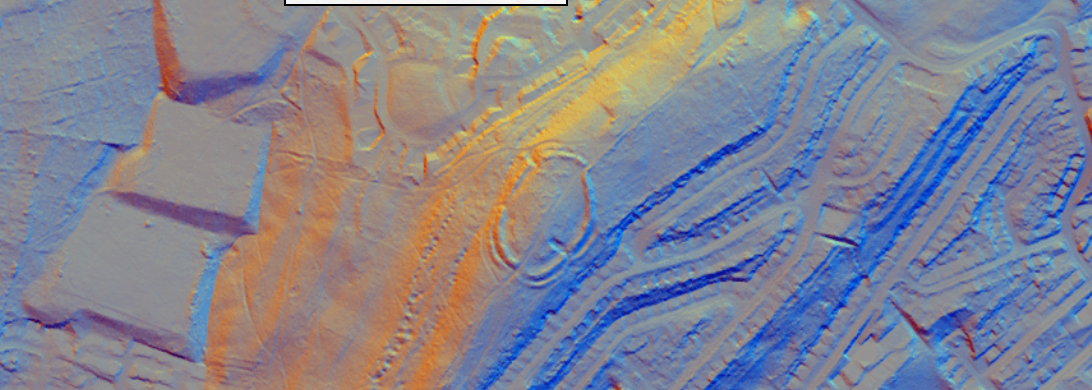
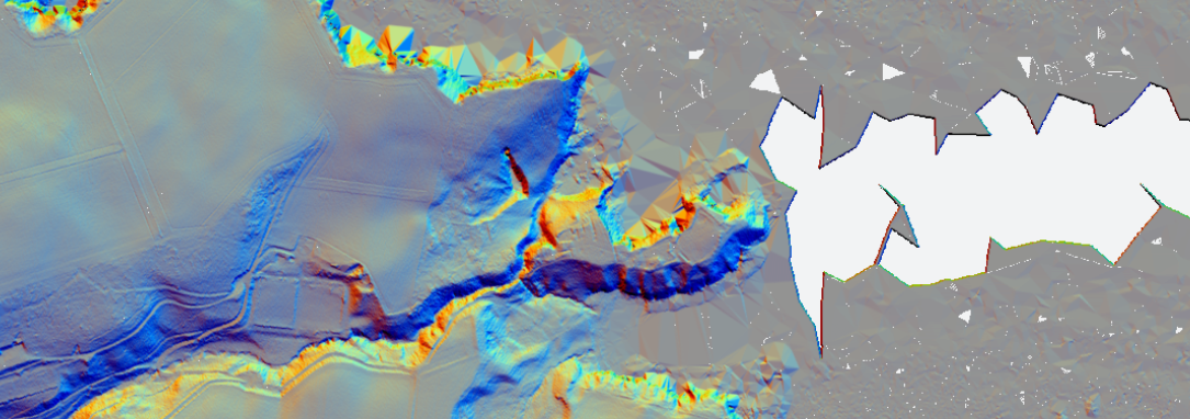 Castle Point Fort - 1m LiDAR - National Library of Scotland |
 Castle Point Fort - 1752 Roy Map - National Library of Scotland |
